Rock Creek
UT
•
Tailwater
About Rock Creek
Rock Creek is a high-altitude tailwater flowing through the rugged, pine-forested terrain of the Uinta Mountains in Duchesne County, Utah. This steep mountain stream serves as a major tributary to the Duchesne River basin, dropping rapidly through a tight, rocky canyon. Upstream reservoir releases dictate the flows here, keeping the water cold and causing volume shifts based on water management decisions rather than local mountain weather. The stream bed consists of massive, slick boulders that shape a continuous run of fast plunge pools, deep pockets, and compressed, fast-moving chutes. Accessing the water in this part of Duchesne County requires navigating remote mountain routes through public lands that run parallel to the high-altitude canyon. Once you descend to the creek, you will find a cramped fishing environment where steep rocky cliffs and dense mountain vegetation line the banks. This tight overhead canopy leaves little room for standard backcasts, making short, accurate roll casts a necessity. The water runs exceptionally clear despite the turbulent surface, meaning any fish in the slower margin pools can easily spot an angler wading carelessly. Trout in this high-gradient system position themselves out of the heavy main current to conserve energy in the cold water. Target the soft water directly behind the largest boulders, the slow-moving current seams along the edges of the main flow, and the tail-outs where deep plunge pools lose their momentum. Because the fish often sit deep in the water column, you must read the surface bubble lines to locate the slow-velocity lanes running beneath the fast surface film. Drifts must be precise, as the fish in these swift mountain currents must make split-second decisions on food moving through their window. To get your flies down to the fish quickly, rely on high-sticking and short-line nymphing techniques that offer immediate depth control. Rig with short leaders between seven and a half and nine feet to prevent the complex, multi-directional currents from grabbing your line and dragging the fly. Use heavy bead-head nymph patterns or add split shot to your leader to sink your rig straight to the bottom of the deep plunge pools before the current sweeps it away. If you prefer to look for a surface strike, tie on a highly buoyant, heavily hackled dry fly that can ride high through rough pocket water, or use it as an indicator to suspend a weighted nymph. Watch your step on the water-worn, slick boulders, as the combination of steep gradient and heavy flows makes wading this canyon demanding.
Rock Creek Hatch Chart
Loading active hatches…
Quick Actions
Trip Planning
Best fishing typically occurs during spring and summer. Check water conditions before heading out.
See what insects are emerging on Rock Creek's hatch forecast — including active hatches, water temperatures, and which patterns to have in your box this month.
Get IdentaFly on your phone
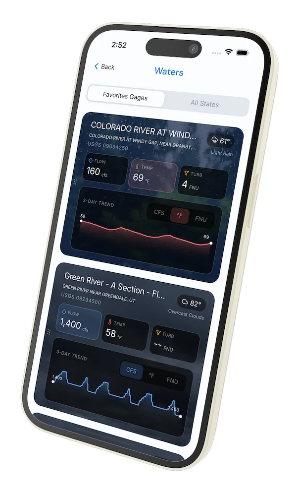
Hatch forecasts, river gages, fly scanning, and your journal — built for on-stream use. Be prepared before you get to the water. Free on the App Store and Google Play.


Water conditions (USGS)
Water conditions for the last 7 days. You can gain insights to fishing activity based on these conditions, like water temperature and flow.
Data sourced from USGS National Water Information System
Access
Seasons
Terrain
Water
Methods
•
Wade Friendly
Land Ownership
Public Forest Service