Payette River - South Fork
ID
•
River
About Payette River - South Fork
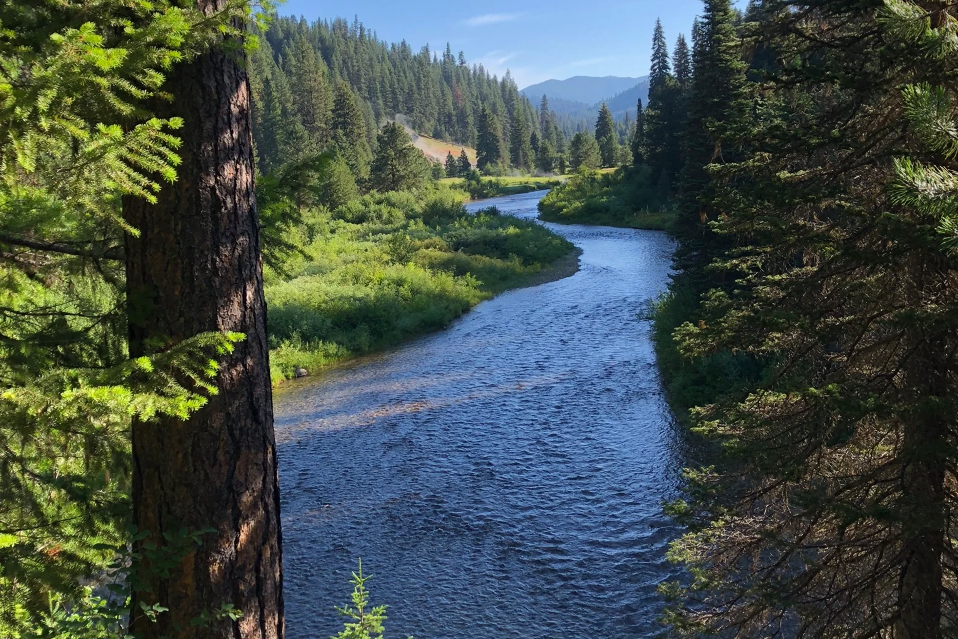
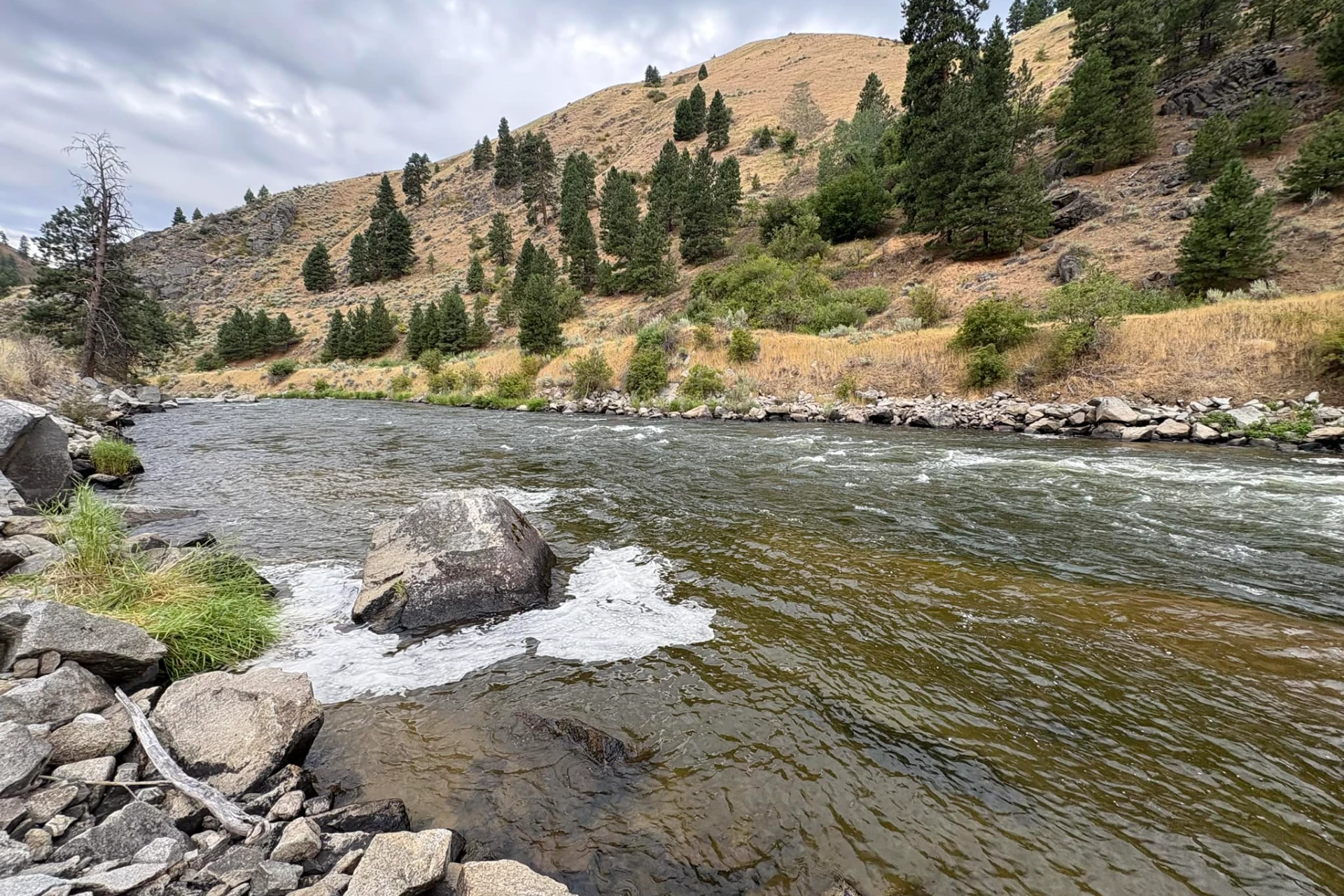
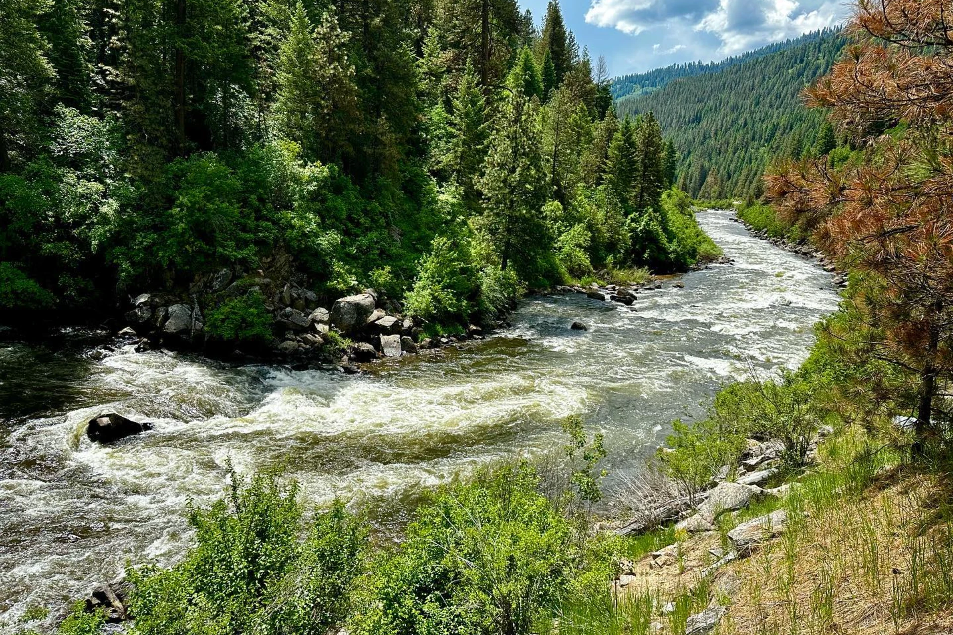
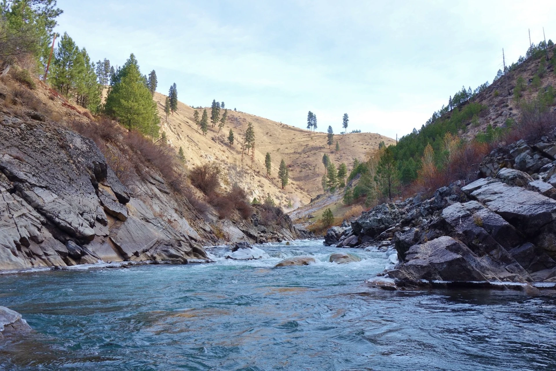
The South Fork Payette River runs through Idaho, about 45 minutes from Boise. This is a 54-mile freestone river following Highway 17, known locally as the Banks to Lowman Highway. The river begins its course in reverse at Banks, where it joins the North Fork Payette to form the main Payette River. Anglers will find the South Fork can be broken into two distinct sections: the upper and the lower. The Deadwood River marks the dividing point, with the lower section running from the Deadwood River confluence down to Lowman. The river itself is a mix of riffles, runs, and pools, with a rocky bottom typical of freestone systems. Access is primarily from the highway, with pull-offs and informal parking areas allowing anglers to walk in. The banks are generally accessible, though some areas can be steeper. You'll see plenty of current lines and structure, from larger boulders to submerged rocks, all holding trout. The South Fork Payette River is home to a robust population of rainbow trout, and they readily take dry flies. You'll also find cutthroat trout and mountain whitefish in the system. Insect activity here can be significant, with hatches of caddis and stoneflies keeping the trout looking up. When targeting rainbows and cutthroat, try a Stimulator or a large Elk Hair Caddis for dries. If the fish are a bit more selective, a small BWO or PMD imitation can work. For subsurface action, nymphs like a Prince Nymph or a Hare's Ear, fished on a dead drift through the faster water, are effective. Swinging a small streamer, like a Clouser or a Woolly Bugger, can also draw aggressive strikes, especially in the deeper pools or along undercut banks. Work the seams of the current and the pockets behind larger rocks. Be prepared for varied conditions; the river can fish differently depending on the time of day and light. Give other anglers plenty of space; this river sees less pressure than many, so respecting the water and those who fish it is key.
Payette River - South Fork Hatch Chart
Loading active hatches…
Quick Actions
Trip Planning
Best fishing typically occurs during spring and summer. Check water conditions before heading out.
See what insects are emerging on Payette River - South Fork's hatch forecast — including active hatches, water temperatures, and which patterns to have in your box this month.
Get IdentaFly on your phone
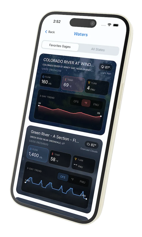
Hatch forecasts, river gages, fly scanning, and your journal — built for on-stream use. Be prepared before you get to the water. Free on the App Store and Google Play.


Conditions Report
Read tips and insights about recent conditions for Payette River - South Fork — gathered from on line sources.
Read the Conditions ReportWater conditions (USGS)
Water conditions for the last 7 days. You can gain insights to fishing activity based on these conditions, like water temperature and flow.
Data sourced from USGS National Water Information System
Access
Seasons
Water
Fish Species
Rainbow Trout
Bull Trout
Fishing Styles
Methods
•
Drift Boat Only
Land Ownership
Public Forest Service
State Wildlife Area