Klamath River
CA
•
River
About Klamath River
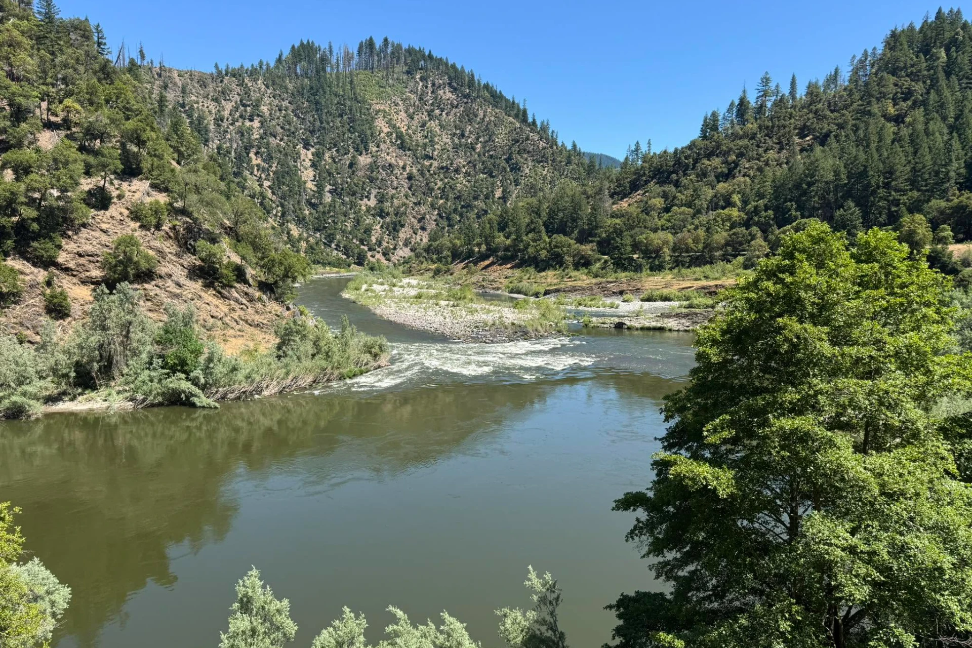
The Klamath River is a massive system flowing 257 miles from its origin at Lake Ewauna in Oregon down to its mouth at the Pacific Ocean near Requa, California. Designated with Wild, Scenic, and Recreational sections spanning over 250 miles, this river cuts a diverse path across the regional landscape. The water character shifts constantly, dropping from tight, high-gradient canyons with heavy, fast water down into wide valleys where the current settles into broader channels. Anglers navigating this system will encounter churning pocket water, deep, boulder-filled runs, and flat gravel bars. Reading the river's changing gradient is key to finding holding water, especially where the channel constricts through the rocky canyon stretches and creates deep pools. Access is spread across two states, starting near Klamath Falls in Oregon and continuing all the way down to the coastal mouth in California. Much of the river corridor runs through public lands, including extensive national forest tracts that provide foot access to the banks. Anglers can target the river from the shoreline, wade the gravel bars, or launch drift boats to access the larger, more isolated stretches of water. Because the terrain changes so drastically from upper canyon sections to broad valley flats, mapping your entry points around these public land boundaries is essential before heading out. Be prepared for steep descents when accessing the canyon stretches on foot, and look for established paths through the national forest boundaries to reach the water safely. Wild steelhead and runs of Chinook salmon migrating from the Pacific Ocean are the primary draw on the Klamath River. Swinging flies is the classic approach for these steelhead, and the river's wide runs are highly suited for both single-handed and double-handed Spey rods. Focus your efforts on broad runs with a consistent, walking-pace flow, casting across and down to let the fly swing naturally through the current seam. Broad gravel bars and the tailouts of deep pools are prime targets for this presentation, allowing you to cover water systematically. When swinging, keep your steps uniform between casts to ensure you present your fly to every potential holding pocket behind the submerged boulders. Drifting egg patterns and nymph rigs under an indicator is another highly effective tactic, whether you are casting from a boat or wading the shoreline. Setting up your rig with enough weight to reach the riverbed quickly in the fast, deep runs ensures your drift stays down in the strike zone where fish are holding. Focus your drifts along distinct seam lines, foam lines, and the edges of deep drop-offs where migrating fish rest. Adjust your indicator depth frequently to match the changing bottom contour as you move from shallow gravel shelves to deeper pools. Always watch your footing on the slick river rocks, and use a wading staff to maintain balance when crossing these heavy, powerful flows.
Klamath River Hatch Chart
Loading active hatches…
Quick Actions
Trip Planning
Best fishing typically occurs during year round. Check water conditions before heading out.
See what insects are emerging on Klamath River's hatch forecast — including active hatches, water temperatures, and which patterns to have in your box this month.
Get IdentaFly on your phone
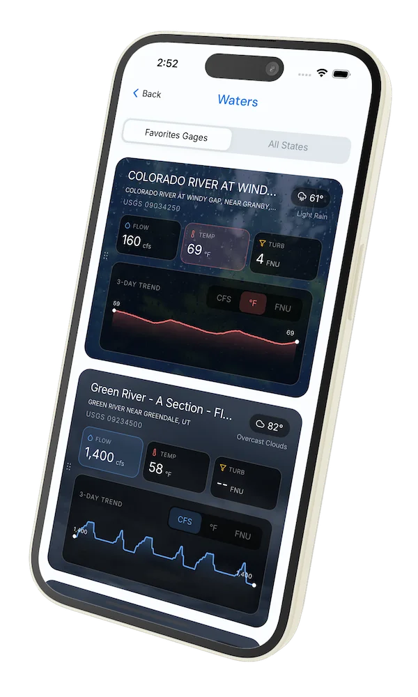
Hatch forecasts, river gages, fly scanning, and your journal — built for on-stream use. Be prepared before you get to the water. Free on the App Store and Google Play.


Conditions Report
Read tips and insights about recent conditions for Klamath River — gathered from on line sources.
Read the Conditions ReportWater conditions (USGS)
Water conditions for the last 7 days. You can gain insights to fishing activity based on these conditions, like water temperature and flow.
Data sourced from USGS National Water Information System
Access
Seasons
Terrain
Water
Fish Species
Steelhead
Chinook salmon
Fishing Styles
Methods
•
Float Friendly
•
Wade Friendly
Land Ownership
Public Forest Service