
Lamoille River - Upper
VT
•
River
About Lamoille River - Upper
The Upper Lamoille River is a large freestone system flowing southwest and northwest from the Green Mountains water divide. It features a heavy mix of classic pocket water and slower runs dictated by the rugged local terrain. Anglers will find the river channel defined by dramatic physical structures, including exposed rock ledges, deep carved pools, abrupt drops, and quick riffles. This freestone water reacts rapidly to weather, meaning heavy rain events upstream can cause sudden flooding and drastic flow changes over a short period. Navigating the banks requires paying close attention to these water levels, as a streamflow that is wadeable in the morning can shift quickly after a storm. Getting down to the river is straightforward if you utilize the established public fishing access areas along this upper stretch. Designated access points are located at Dog Head Falls, Dorothy Smith, Rotary, and Sears, each offering a distinct entry point to the water's edge. In Wolcott, the parallel Lamoille Valley Rail Trail provides access to 500 feet of protected river frontage, making a pedal-and-wade approach highly effective for reaching less-pressured pockets of water. For those looking to float, the Lamoille River Paddlers' Trail offers a dedicated canoe and kayak corridor with designated put-ins, portages, and campsites to help you navigate between deep pools. This trail network allows boat-based anglers to float between pools and access structure that is otherwise unreachable on foot. To fish this water effectively, you must focus on reading the seams and adjusting your depth to match the river's varied ledge structure. The deep pools and plunges below the river's abrupt drops require weighted subsurface presentations to cut through the heavy current and reach the holding zones near the bottom. In the quicker riffles and along the edges of the exposed rock ledges, fish hold in the soft seams and pocket water just out of the main flow. Controlling your drift through these high-probability slots with weighted nymphs or active streamer presentations is key to finding success. Adjusting your indicator depth or tight-lining through the deeper slots will keep your fly in the strike zone longer. Wading the upper river requires a cautious approach due to the slick nature of the exposed rock ledges and the sudden drop-offs near the deep pools. Always use a wading staff to probe the bottom before stepping off a stone shelf, as the depth can drop instantly from shallow gravel into deep, swirling runs. Keep a close eye on water clarity and rising debris, which serve as your immediate warning signs that upstream rain is swelling the river. Plan your exit routes near the rail trail or designated paddler access points so you can easily step off the water if the flows begin to climb.
Lamoille River - Upper Hatch Chart
Loading active hatches…
Quick Actions
Trip Planning
Best fishing typically occurs during spring and summer. Check water conditions before heading out.
See what insects are emerging on Lamoille River - Upper's hatch forecast — including active hatches, water temperatures, and which patterns to have in your box this month.
Get IdentaFly on your phone
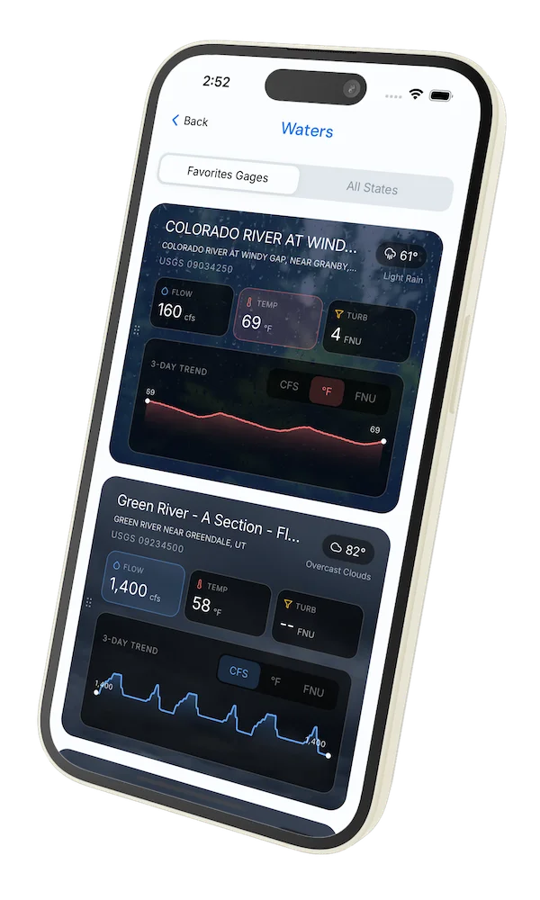
Hatch forecasts, river gages, fly scanning, and your journal — built for on-stream use. Be prepared before you get to the water. Free on the App Store and Google Play.


Water conditions
Water conditions for the last 7 days. You can gain insights to fishing activity based on these conditions, like water temperature and flow.
Data sourced from USGS National Water Information System and NOAA National Water Prediction Service (NWPS)
Access
Seasons
Terrain
Water
Fish Species
Trout
Fishing Styles
Methods
•
Wade Friendly
•
Float Friendly
Land Ownership
Private With Easement