Clyde River
VT
•
River
About Clyde River
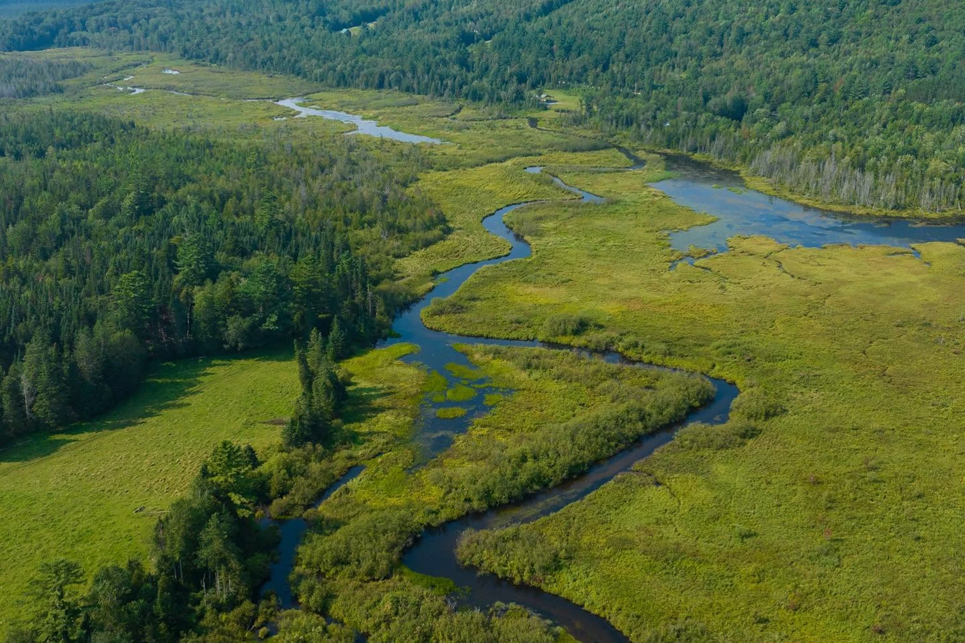
The Clyde River runs for 33.5 miles through northeastern Vermont before emptying into Lake Memphremagog. This water system transitions through vastly different environments, starting as a slow-moving, sluggish stream that winds its way through a series of natural ponds. For a significant stretch of its run, specifically a 21-mile section categorized as Class I to III water, the river meanders between the Route 105/114 junction and Clyde Road. Here, the riverbed is mostly gentle, characterized by soft bottoms, slow currents, and heavily vegetated banks that define the pond connections. Anglers looking to get on the water can find direct access points near the intersection of Route 105 and Route 114, as well as several spots along Clyde Road where the river runs close to the shoulder. The final stretch of the river changes character entirely, dropping through three miles of quick rapids right near its mouth where it meets Lake Memphremagog. This downstream section contrasts sharply with the sluggish pond-to-pond stretches upstream, presenting a rocky riverbed, pocket water, and defined pool-and-riffle structures. Along the slower upper reaches, the water behaves more like a chain of elongated lakes, where weed lines, drop-offs, and woody debris along the banks dictate where water moves. Wading is highly variable across these sections, ranging from soft-bottomed muddy banks in the slow stretches to slick, boulder-filled runs in the lower rapids. Navigating the access points along Clyde Road requires scanning the roadside for pull-offs that lead directly down to the bank. This river habitat supports a wide mix of species, including brook trout, brown trout, rainbow trout, and landlocked Atlantic salmon that enter from the lake. You will also find lake trout, largemouth and smallmouth bass, northern pike, walleye, and various panfish occupying different niches along the river. In the slow, pond-like sections, focus on the weed edges, lily pads, and submerged timber where bass and pike wait to ambush prey. Because the water in these slow stretches is often dark and quiet, presentation requires patience, using slow-sinking lines or unweighted patterns that can glide over the weed tops without snagging. Stripping large, dark streamer patterns with an erratic, stop-and-go retrieve is highly effective around the drop-offs where the channel deepens near the ponds. When fishing the quicker water and rapids near the mouth, change your approach to handle the faster current. For trout and landlocked salmon holding in the pocket water, a nymph rig fished deep under a strike indicator or a swung streamer is the standard way to find fish. Tie on a weighted woolly bugger or a beadhead hare's ear nymph to get down into the feeding lanes behind large boulders and in the deep seams. Because the lower three miles feature slick rocks and swift currents, wearing studded wading shoes is essential to maintain traction. Keep your casts short and precise, targeting the soft foam lines and eddies where the fast water meets the slower bank currents.
Clyde River Hatch Chart
Loading active hatches…
Quick Actions
Regulations
•
Catch & Release: All fish must be immediately released. Handle with care using barbless hooks.
•
Artificial Lures Only: No natural bait permitted. Flies, lures, and artificial attractants only.
•
Seasonal Closures: This water has seasonal closures. Check local regulations for specific dates.
Trip Planning
Best fishing typically occurs during spring and summer. Check water conditions before heading out.
See what insects are emerging on Clyde River's hatch forecast — including active hatches, water temperatures, and which patterns to have in your box this month.
Get IdentaFly on your phone
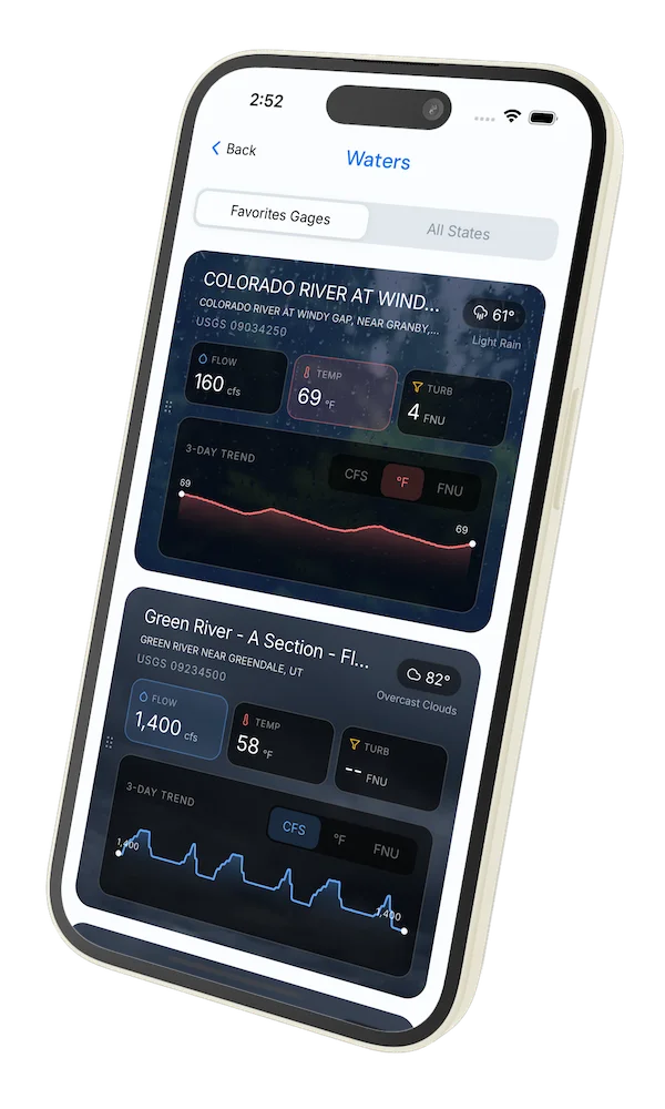
Hatch forecasts, river gages, fly scanning, and your journal — built for on-stream use. Be prepared before you get to the water. Free on the App Store and Google Play.


Water conditions (USGS)
Water conditions for the last 7 days. You can gain insights to fishing activity based on these conditions, like water temperature and flow.
Data sourced from USGS National Water Information System
Access
Seasons
Terrain
Water
Fish Species
Brook Trout
Brown Trout
Rainbow Trout
Pike
Pink salmon
Regulations
•
Catch & Release: All fish must be immediately released. Handle with care using barbless hooks.
•
Artificial Lures Only: No natural bait permitted. Flies, lures, and artificial attractants only.
•
Seasonal Closures: This water has seasonal closures. Check local regulations for specific dates.
Fishing Styles
Methods
•
Float Friendly
•
Wade Friendly