Black River
VT
•
River
About Black River
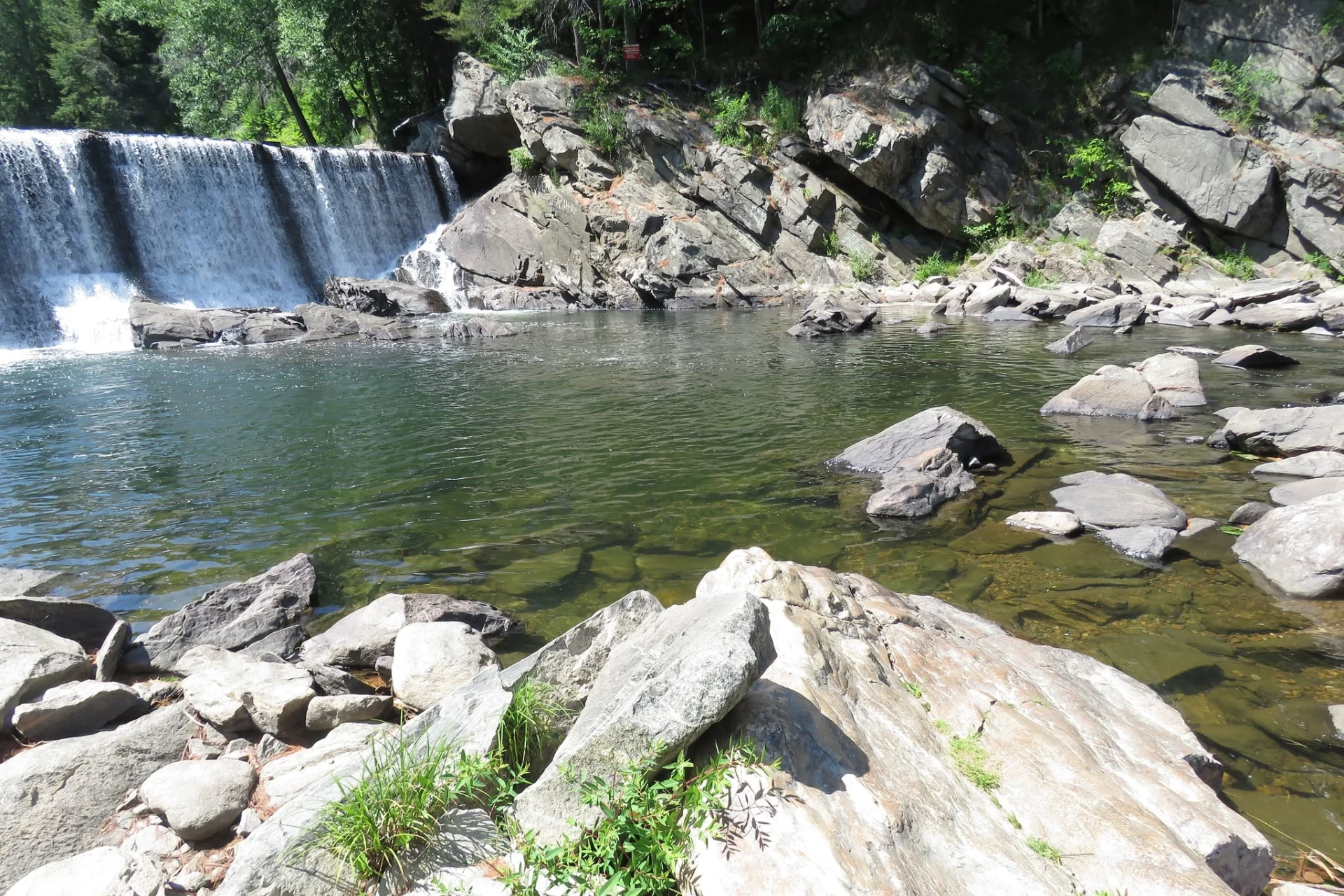
The northern branch of the Black River starts its run at Lake Elligo and flows north for 30 miles before emptying into Lake Memphremagog. This section of the river maintains a distinct character as it cuts through the northern terrain, offering a mix of slow-moving flats, gravel runs, and quicker pocket water. Access along this northern stretch requires some footwork along the road crossings and public easements, but finding the points where the river slows down near the lake inlet will put you in prime position. You will want to watch the bank lines, undercut turf, and overhanging cover where the current slows, as these areas provide natural holding spots for feeding fish. The water here often carries a tea-colored tint, meaning high-visibility patterns or darker profiles that silhouette against the surface will get noticed much faster. Further south, the southern branch of the Black River runs for 40.8 miles through Windsor County, offering a highly varied landscape of moving and still water. This branch connects a series of lakes, including Amherst, Echo, Rescue, and Pauline, which break up the river's flow and create distinct tailwater and inlet environments. Below these lakes, the river narrows significantly and rushes through the steep Cavendish Gorge before eventually joining the Connecticut River. The sheer drop-offs, massive boulders, and rocky structure of the gorge contrast sharply with the gentler, sandy-bottomed stretches found further upstream. This mix of lake outlets, narrow pocket water, and deep gorge pools means you have to adapt your approach to the specific section of the river you are standing in, as the fish behave differently in the lake-influenced stretches than they do in the high-gradient canyons. When you are fishing the river sections between the lakes or the fast pocket water of the southern branch, presentation is all about depth control and speed. The narrow flows require short, accurate casts to avoid hanging up on the tight, brush-lined banks that hug the water. Swing moderately weighted streamers through the deeper pools below the lake outlets, letting the fly sink deep into the column before starting an erratic strip retrieve to mimic displaced forage. In the quicker runs, rigging a weighted nymph under a high-vis indicator allows you to track the seams where fast water meets the slower holding water near the bottom. Keep your drifts natural by mending your fly line immediately upon landing, ensuring the fly travels at the same speed as the bottom current without dragging. Tackling the steep gradient of the Cavendish Gorge or the northern flow into Lake Memphremagog demands careful wading and specific gear adjustments. The rocky pocket water in the gorge requires using a sturdy wading staff and boots with felt or studded soles to navigate the slick, steep terrain safely. Here, short-line nymphing techniques work best, using heavy tungsten beads to plunge your presentation down into the deep plunge pools and turbulent eddy lines. On the northern branch, focus your efforts on the transition zones where the river enters Lake Memphremagog, casting your presentations along the drop-offs where the river current dissipates into the lake body. Keep your rod tip low to the water and stay alert for subtle takes, especially when retrieving your flies through the dark water near submerged timber or rocky ledges.
Black River Hatch Chart
Loading active hatches…
Quick Actions
Trip Planning
Best fishing typically occurs during spring and summer. Check water conditions before heading out.
See what insects are emerging on Black River's hatch forecast — including active hatches, water temperatures, and which patterns to have in your box this month.
Get IdentaFly on your phone
Hatch forecasts, river gages, fly scanning, and your journal — built for on-stream use. Be prepared before you get to the water. Free on the App Store and Google Play.


Water conditions (USGS)
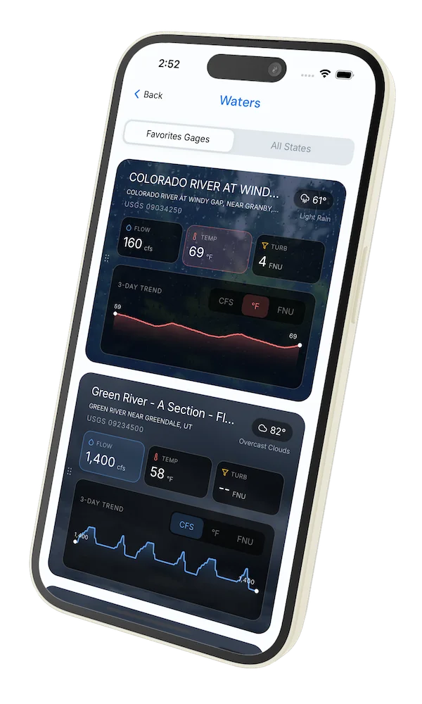
Water conditions for the last 7 days. You can gain insights to fishing activity based on these conditions, like water temperature and flow.
Data sourced from USGS National Water Information System
Access
Seasons
Terrain
Water
Fish Species
Trout
Fishing Styles
Methods
•
Wade Friendly