Barton River
VT
•
River
About Barton River
The Barton River runs for over 22 miles through northern Vermont, carving a path from Route 16 north of Glover village all the way to its mouth at Lake Memphremagog. Anglers can orient themselves by following the river corridor as it traces a scenic valley running parallel to U.S. Route 5 and Interstate 91. The upper reaches start as smaller, quicker water before transitioning into broader, more powerful flows downstream. The overall gradient includes distinct drops, featuring class I to class III whitewater sections that demand respect from anyone wading or floating. As the river travels north, it gains a massive boost in volume and speed from its confluence with the Willoughby River, completely changing the character of the lower river. This sudden increase in flow creates deep runs, heavy hydraulics, and shifting gravel bars that define the lower miles of the system. Access to the Barton River is exceptionally straightforward due to the transportation corridors that hug its banks. You can find roadside pull-offs and paths down to the water along Route 16 in the upper sections, as well as numerous spots off U.S. Route 5 and Interstate 91. One of the most notable historic access points is located at Orleans, a stretch of the river formerly known as Barton Landing. This area provides a logical starting point for dissecting the middle river, offering room to park and evaluate the water. The riverbed varies from cobble and gravel in the swifter runs to deeper, slower pools where the gradient levels out before reaching the lake. Observing the shoreline reveals a mix of overhanging bank vegetation and exposed boulder structures that provide excellent holding cover for fish. Fishing the Barton River requires adjusting your approach based on whether you are above or below the confluence with the Willoughby River. The influx of volume from the Willoughby creates deep runs and heavy seams where predatory fish hold, especially those moving up from Lake Memphremagog. To work these deeper sections effectively, you need to get your flies down into the strike zone quickly using weighted sub-surface patterns or sink-tip lines. Drift your presentations through the transition zones where fast water meets slow water, focusing on the soft edges of the main current. Swinging wet flies or streamers through the tailouts of the deeper pools is a highly effective method for covering water when the fish are active in the flow. Keep your casts short and controlled to prevent the complex, multi-speed currents from dragging your line and spoiling the drift. In the swifter class I to class III whitewater sections, look for pocket water behind large boulder obstructions and along the shoreline seams. Short-line nymphing or tight-line techniques work best here, allowing you to maintain direct contact with your fly without the current grabbing your line and causing unnatural drag. Keep your wading stance stable and use a wading staff, as the rocky bottom in these higher-gradient stretches can be slick and unpredictable. When the river runs high after heavy rains, focus your efforts on the inside bends and slower margins where fish seek relief from the main torrent. Paying close attention to these current breaks will keep your fly in productive water and ensure a safe, stable footing on the cobble. A slow, methodical upstream wade is the smartest way to approach these quick-water pockets without spooking fish holding in the tail of the pools.
Barton River Hatch Chart
Loading active hatches…
Quick Actions
Trip Planning
Best fishing typically occurs during spring and summer. Check water conditions before heading out.
See what insects are emerging on Barton River's hatch forecast — including active hatches, water temperatures, and which patterns to have in your box this month.
Get IdentaFly on your phone
Hatch forecasts, river gages, fly scanning, and your journal — built for on-stream use. Be prepared before you get to the water. Free on the App Store and Google Play.


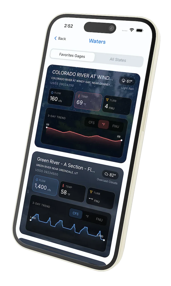
Water conditions (USGS)
Water conditions for the last 7 days. You can gain insights to fishing activity based on these conditions, like water temperature and flow.
Data sourced from USGS National Water Information System
Access
Seasons
Terrain
Water
Fish Species
Brook Trout
Brown Trout
Rainbow Trout
Largemouth Bass
Smallmouth Bass
Walleye
Pike
Sucker
Fishing Styles
Methods
•
Wade Friendly
•
Float Friendly
•
Raftable