Mammoth Creek
UT
•
Creek
About Mammoth Creek
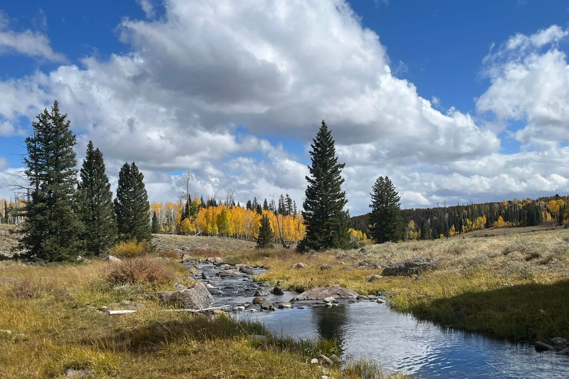
Mammoth Creek is a diverse freestone stream flowing over 20 miles through the mountainous terrain of southern Utah's Dixie National Forest. This creek is known for its healthy population of wild brown trout, with hatchery-raised rainbow trout also present, offering anglers varied opportunities for trout fishing. While specific hatch information is not detailed in the provided content, the presence of trout suggests common insect activity, with the author noting seeing rise forms, indicating potential dry fly opportunities. The Hatch Ranch Meadow section, situated at approximately 7,500 feet elevation, offers a classic mountain stream experience with meandering meadows and is accessible to 2WD vehicles when conditions permit. Anglers can expect opportunities for wading, with the clear, sometimes low water conditions presenting a technical challenge for placing flies in prime holding areas.
Mammoth Creek Hatch Chart
Loading active hatches…
Quick Actions
Regulations
•
Seasonal Closures: This water has seasonal closures. Check local regulations for specific dates.
Trip Planning
Best fishing typically occurs during spring and summer. Check water conditions before heading out.
See what insects are emerging on Mammoth Creek's hatch forecast — including active hatches, water temperatures, and which patterns to have in your box this month.
Get IdentaFly on your phone
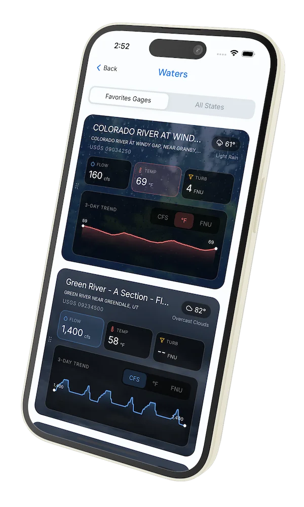
Hatch forecasts, river gages, fly scanning, and your journal — built for on-stream use. Be prepared before you get to the water. Free on the App Store and Google Play.


Water conditions (USGS)
Water conditions for the last 7 days. You can gain insights to fishing activity based on these conditions, like water temperature and flow.
Data sourced from USGS National Water Information System
Access
Seasons
Terrain
Water
Fish Species
Brown Trout
Rainbow Trout
Regulations
•
Seasonal Closures: This water has seasonal closures. Check local regulations for specific dates.
Fishing Styles
Methods
•
Wade Friendly
Land Ownership
Private No Access
Public Forest Service