John Day - Middle Fork
OR
•
River
About John Day - Middle Fork
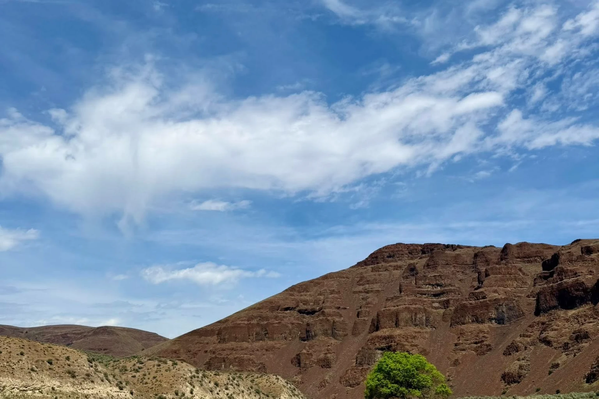
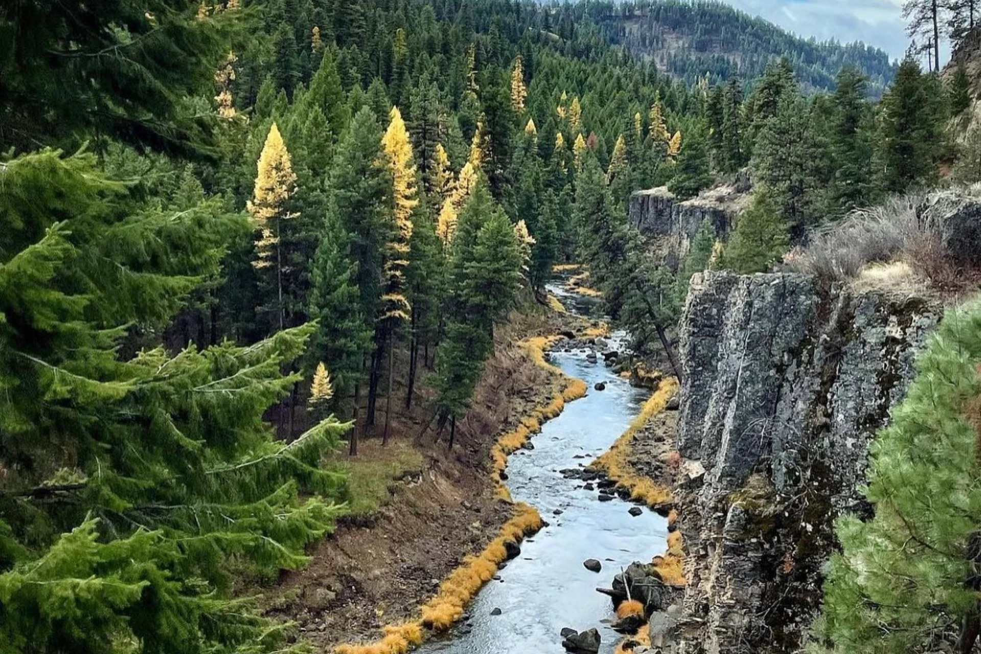
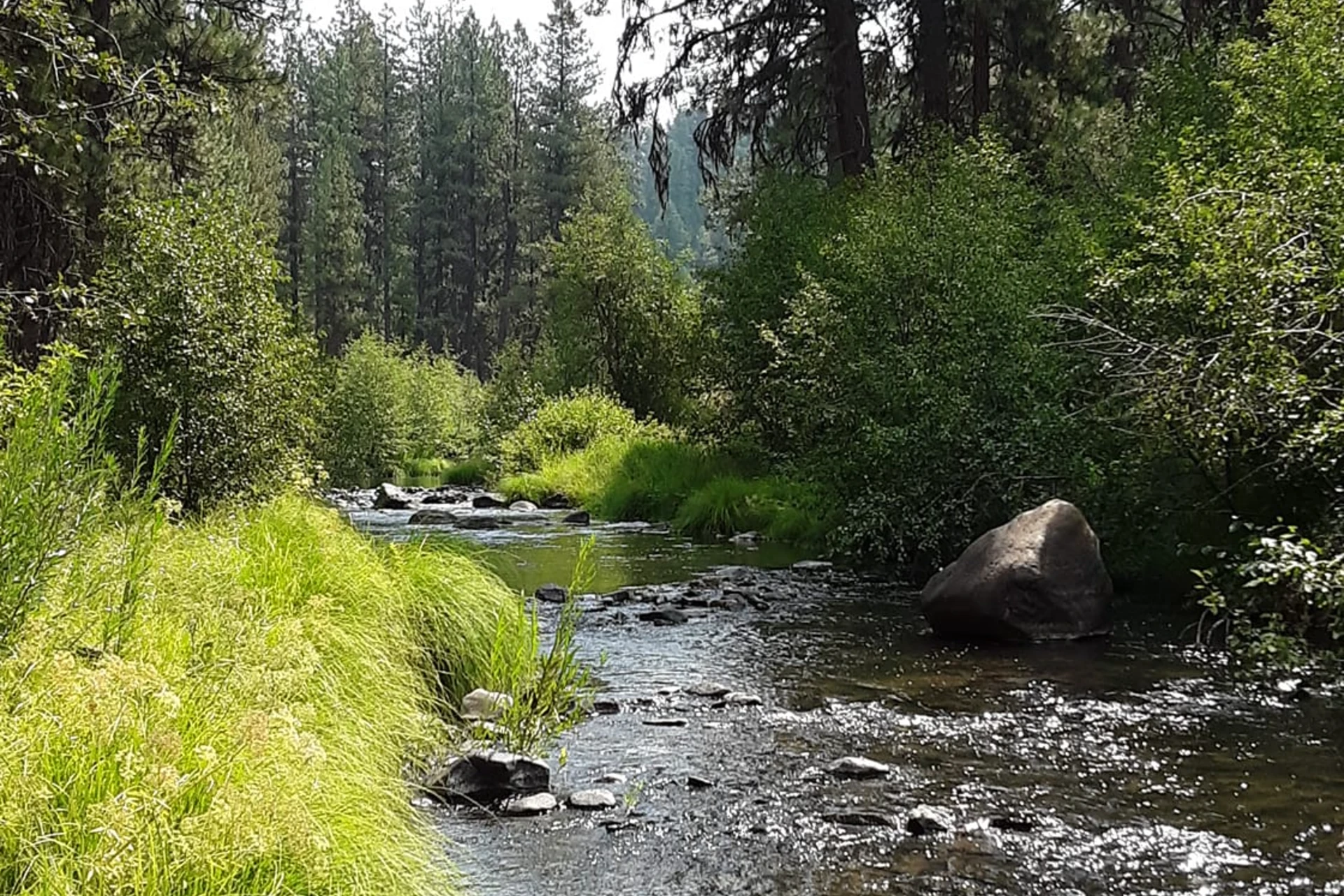
The Middle Fork John Day River flows 73 to 75 miles west from its Blue Mountains origin through Grant County, Oregon. Anglers will find a distinct change in character as they move downstream. The upper reaches cut through steep, confined valleys, featuring prominent riffles and boulder-strewn channels. These sections often narrow into canyons, demanding careful navigation and presenting opportunities to work pocket water around large rocks. This entire stretch, designated as a State Scenic Waterway for most of its length, is within the Malheur National Forest, offering a wild, uncrowded experience. Access points are available near communities like Austin, Ritter, and Monument, providing entry to different sections of the river. As the Middle Fork John Day progresses, the lower sections open up into more meandering reaches. Here, gravel bars become more prevalent, and bedrock-controlled sections define the riverbed. The riparian zones in these areas are characterized by willows, alders, sedges, and rushes, offering cover and structure along the banks. Despite some historical impacts leading to elevated summer water temperatures, the river still holds significant fishing value for native salmonids. The Middle Fork John Day River is critical habitat for native salmonids, including threatened summer steelhead, spring Chinook salmon, bull trout, and westslope cutthroat trout. Focus on presenting flies in the cooler, deeper pockets and runs, especially during warmer periods. Target the prominent riffles and boulder-strewn channels in the upper river, where fish will hold in oxygenated water behind structure. In the lower, meandering sections, work the edges of gravel bars and bedrock formations, paying attention to current seams and deeper bends. Cooler tributary refugia are important for juvenile fish, and these areas can also hold adult fish seeking thermal relief. Given the potential for elevated summer water temperatures, focus efforts during cooler parts of the day or in sections known for consistent cold water. For westslope cutthroat trout, a well-placed dry fly or small nymph can be effective. Steelhead and Chinook will require more specialized approaches, often involving larger subsurface patterns and precise drifts through holding water. Always be mindful of your wading, as the riverbed can be slick with boulders and gravel.
John Day - Middle Fork Hatch Chart
Loading active hatches…
Quick Actions
Trip Planning
Check water conditions before heading out for the best fishing experience.
See what insects are emerging on John Day - Middle Fork's hatch forecast — including active hatches, water temperatures, and which patterns to have in your box this month.
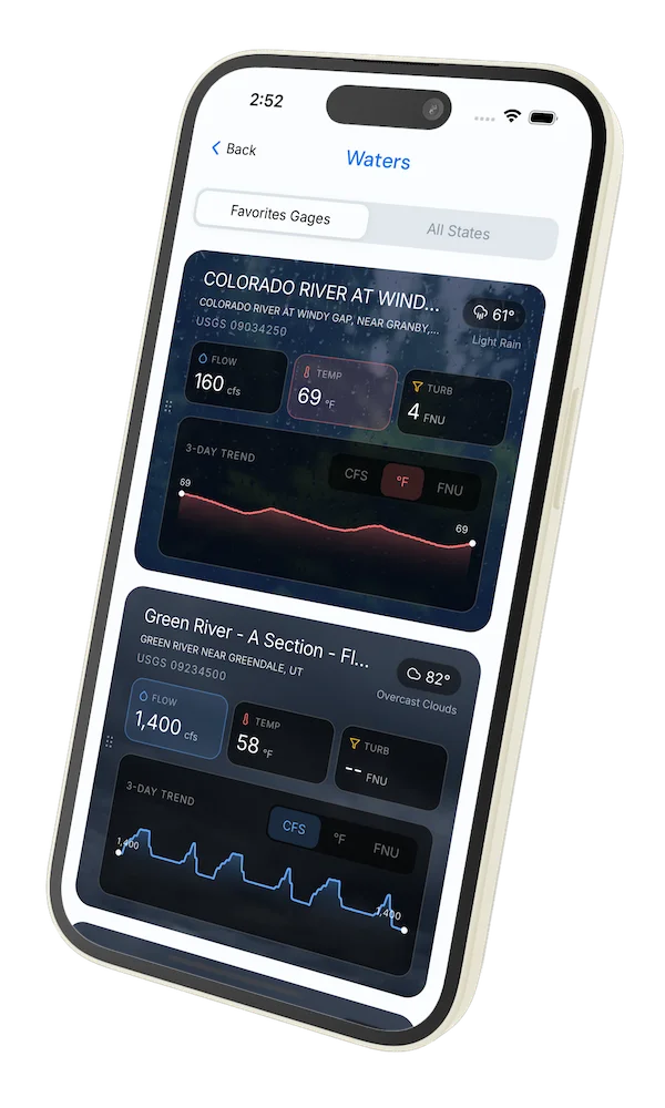
Get IdentaFly on your phone
Hatch forecasts, river gages, fly scanning, and your journal — built for on-stream use. Be prepared before you get to the water. Free on the App Store and Google Play.


Water conditions
Water conditions for the last 7 days. You can gain insights to fishing activity based on these conditions, like water temperature and flow.
Data sourced from USGS National Water Information System
Access
Terrain
Water
Fish Species
Steelhead
Chinook salmon
Bull Trout
Cutthroat
Methods
•
Wade Friendly
Land Ownership
Public Forest Service