Grande Ronde River
OR
•
River
About Grande Ronde River
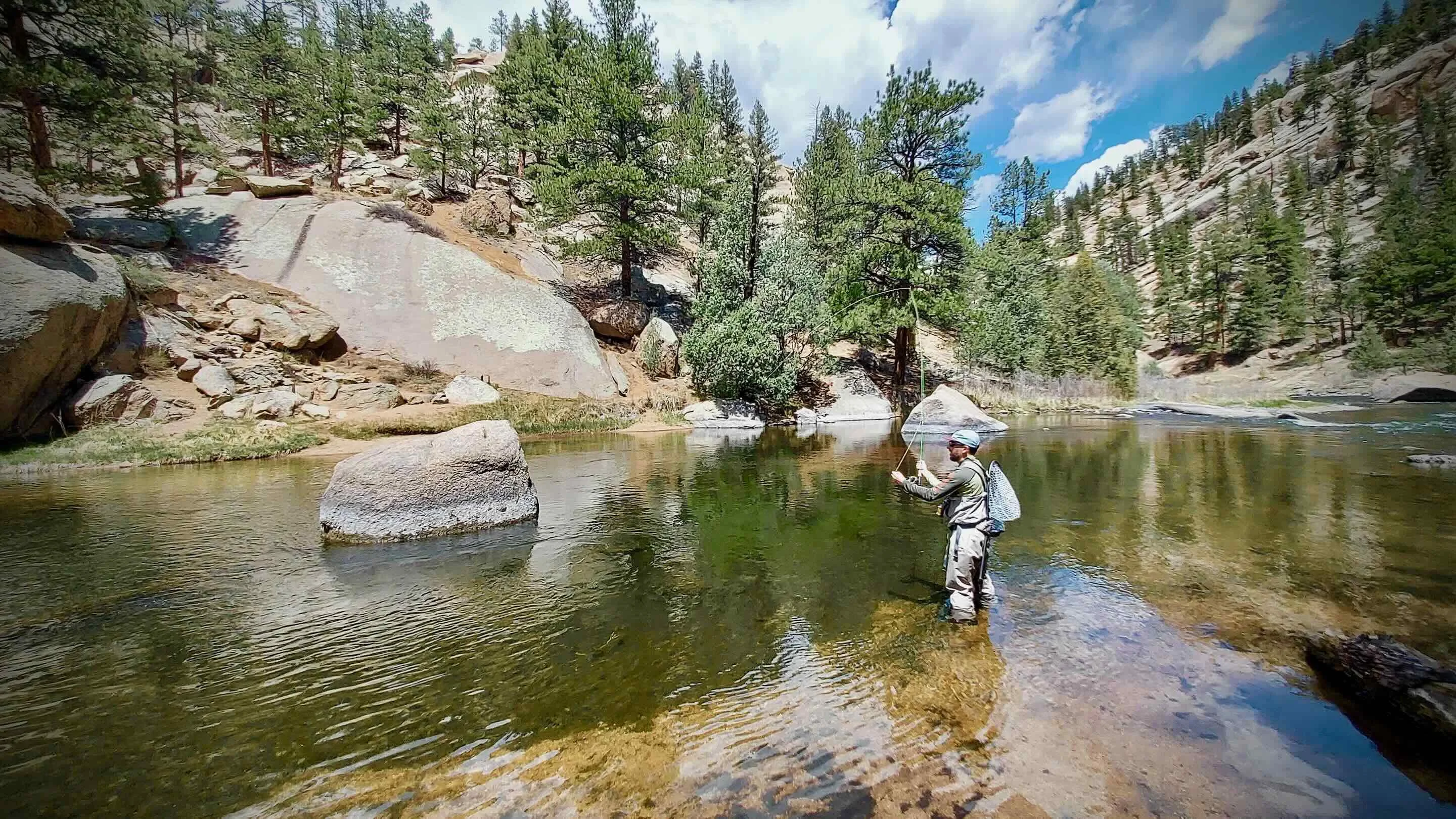
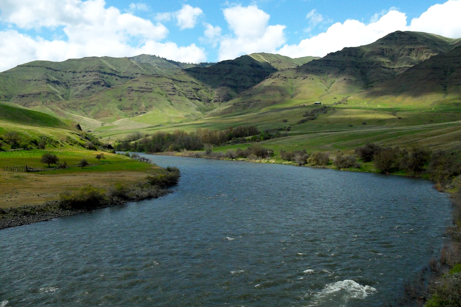
The Grande Ronde River, a 210-mile free-flowing tributary of the Snake River, winds through northeast Oregon and southeast Washington, offering a distinct and often remote angling experience. Its watershed spans the eastern Columbia Plateau, bordered by the Blue and Wallowa Mountains, creating a varied landscape. The river flows from forested headwaters into the agricultural Grande Ronde Valley in its middle course, then carves through rugged basalt canyons up to 3,000 feet deep in its lower sections. A federally protected 43.8-mile stretch, running from the Wallowa River confluence to the Oregon-Washington border, exemplifies these spectacular canyons. The upper river features steep basalt walls and dense evergreen forests, while the lower portion transitions to open, grass-covered hills, providing diverse fishing environments. Access to the Grande Ronde varies significantly along its length. Many sections are roadless and primitive, accessible only by boat. The middle river parallels a seldom-traveled county road, offering some roadside access. Primary launch sites and access points include Minam, Mud Creek, Troy, and Boggan's Oasis. Hwy 244 provides access to the upper river, while the lower river near the Snake confluence can be reached via a three-mile road from Heller Bar. Primitive campsites are available on a first-come, first-served basis, supporting multi-day trips. This blend of accessible and remote sections means anglers can choose their level of solitude and adventure on the Grande Ronde. The Grande Ronde River is a nationally renowned sport fishery, supporting spring and fall Chinook salmon, summer steelhead, and rainbow trout. Bull trout are also present, and reintroduction efforts for coho salmon are underway. Fishing remains excellent even late in the season, after water levels have receded. Floating is a popular and often the best way to experience the river, with a long season extending from spring ice breakup to fall freeze-up. The 46-mile float from Minam to Troy is particularly popular and well-suited for anglers with beginner to intermediate floating skills. For those targeting Grande Ronde steelhead and trout, focus on the deeper runs and current seams found in the canyon sections. When water levels allow, work the edges of the main current and behind larger boulders. Streamers fished on a sink-tip line can be effective for aggressive fish, especially in cooler water. For rainbow trout, nymphing with an indicator through riffles and into the heads of pools will cover productive water. Pay attention to water clarity and adjust your fly size and presentation accordingly. Always check local regulations before heading out, and be prepared for variable conditions on this free-flowing river.
Grande Ronde River Hatch Chart
Loading active hatches…
Quick Actions
Trip Planning
Best fishing typically occurs during spring and summer. Check water conditions before heading out.
See what insects are emerging on Grande Ronde River's hatch forecast — including active hatches, water temperatures, and which patterns to have in your box this month.
Get IdentaFly on your phone
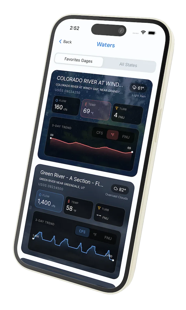
Hatch forecasts, river gages, fly scanning, and your journal — built for on-stream use. Be prepared before you get to the water. Free on the App Store and Google Play.


Conditions Report
Read tips and insights about recent conditions for Grande Ronde River — gathered from on line sources.
Read the Conditions ReportWater conditions (USGS)
Water conditions for the last 7 days. You can gain insights to fishing activity based on these conditions, like water temperature and flow.
Data sourced from USGS National Water Information System
Access
Seasons
Terrain
Water
Fish Species
Chinook salmon
Steelhead
Rainbow Trout
Bull Trout
Fishing Styles
Methods
•
Float Friendly
•
Wade Friendly
Land Ownership
Public Blm
Public Forest Service