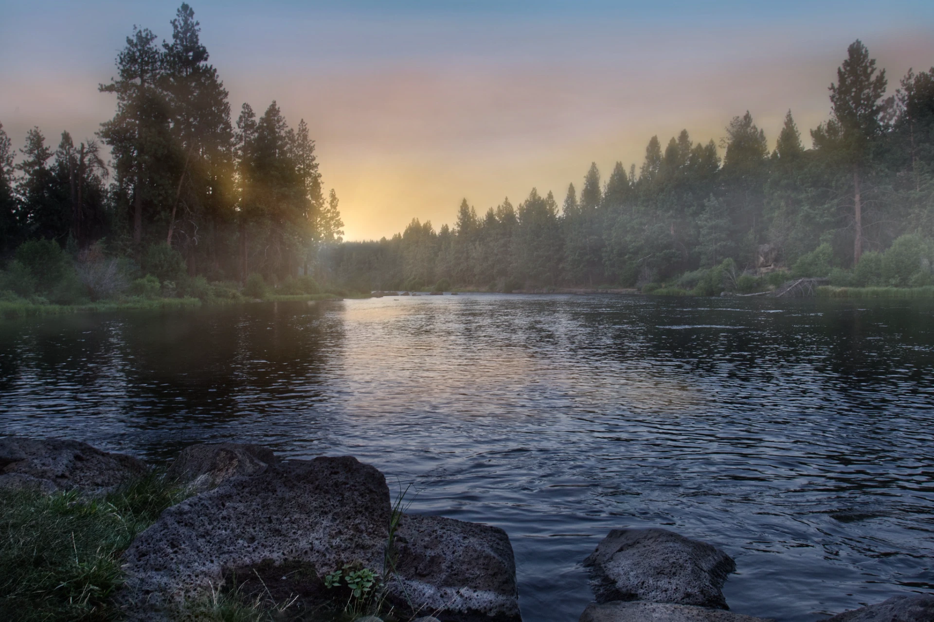
Deschutes River
OR
•
River
•
Main stemAbout Deschutes River
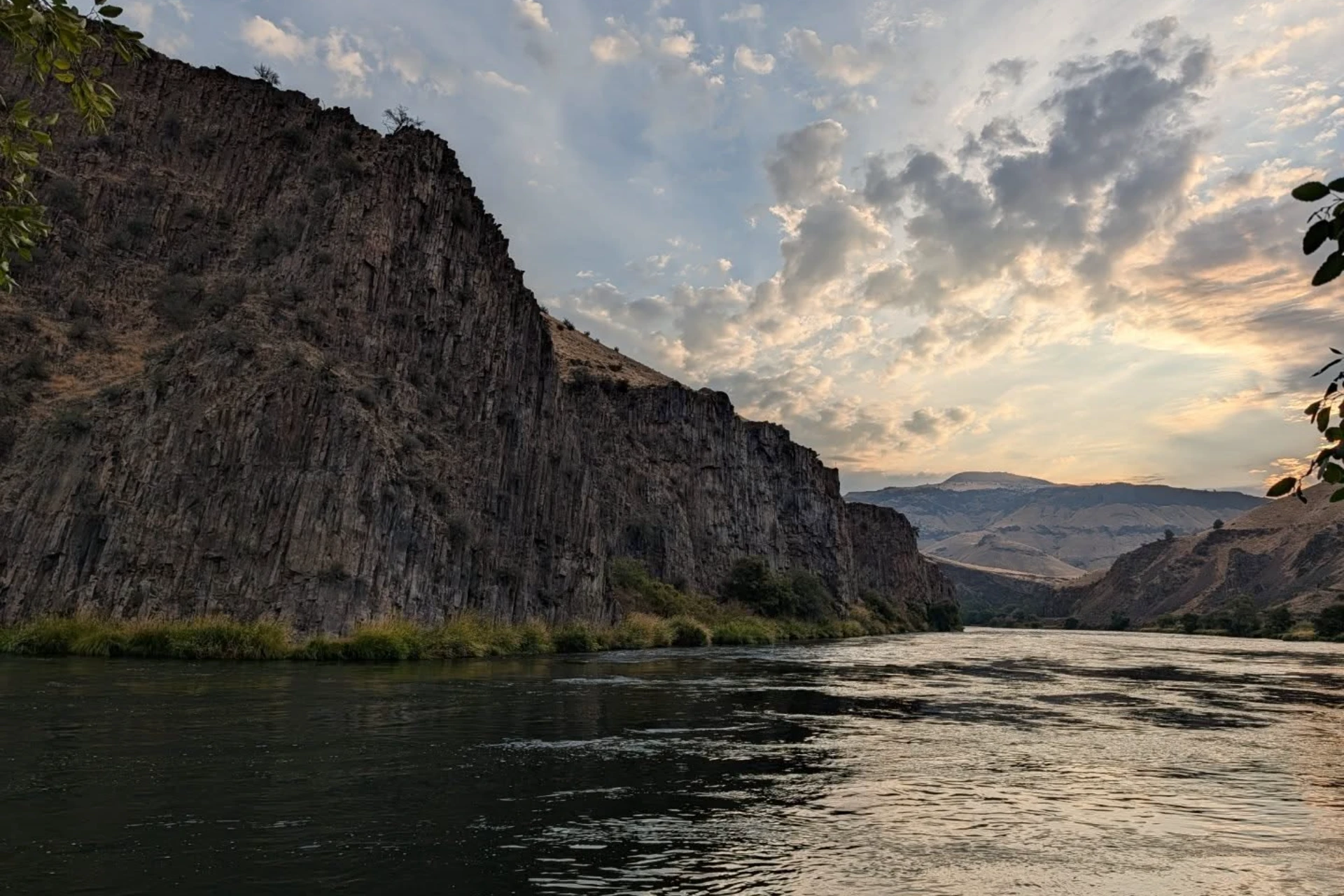
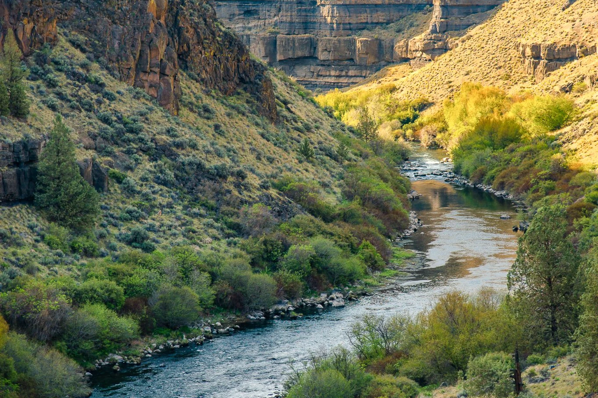
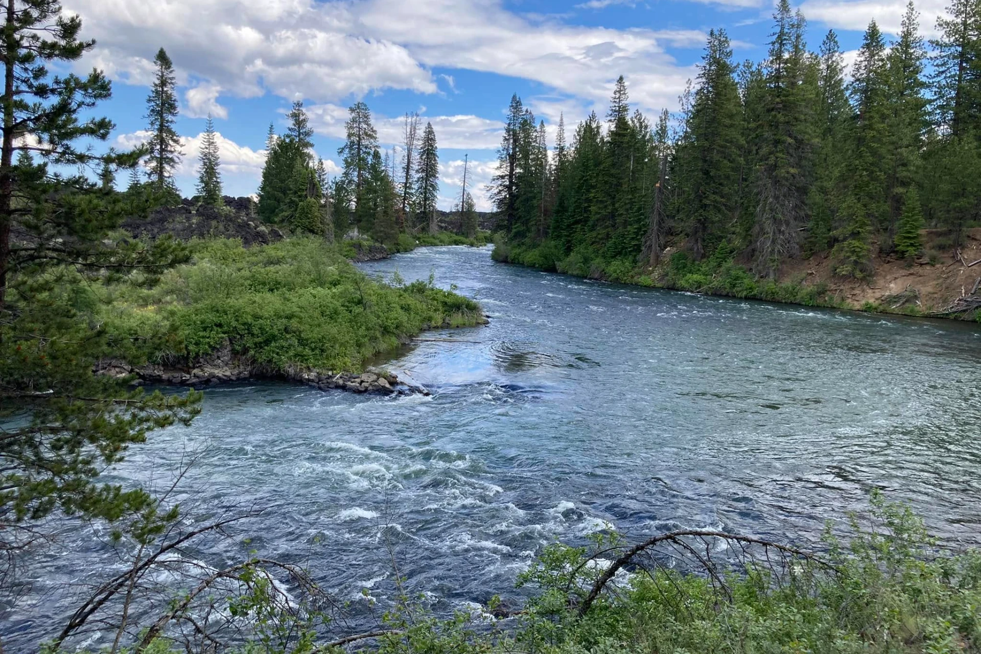
The Deschutes River flows north from its origins in Little Lava Lake, draining the eastern side of the Cascade Range in Oregon before joining the Columbia River. This river carves through rugged, arid country, passing through Crane Prairie and Wickiup Reservoirs before reaching Bend. Within Bend, the river enters Mirror Pond, an impoundment formed by the Newport hydroelectric dam, which is a notable feature of the city's parks. Further downstream, the river descends through a deep canyon, displaying 50 million years of geologic history in its basalt, ash, and sedimentary formations. The stable flows from springs, combined with the steep basalt canyons, create a diverse stream habitat and riparian zone, dominated by alders along the banks, with big sagebrush and bunchgrass in the high desert uplands. The river's character changes significantly along its length. The upper Deschutes, particularly around Bend and adjacent to the Newberry National Volcanic Monument, is highly accessible. In contrast, the middle section offers excellent hiking opportunities, while the lower river is known for whitewater rafting. From April through October, diversions reduce the flow between Bend and the Pelton Reregulating Dam, which is important to note for anglers planning their trips during these months. The lower Deschutes flows across the Deschutes-Umatilla Plateau, dropping from 4,000 feet to 400 feet by the Columbia River, creating a dynamic and varied fishing environment. The Deschutes River is a renowned sport fishery, holding steelhead, brown trout, and native rainbow trout. The upper Deschutes is particularly known for its exceptional brown trout fishery, offering good opportunities for anglers targeting these fish. The lower Deschutes provides extensive spawning and rearing habitat for both resident rainbow trout and anadromous steelhead. A unique run of wild sockeye salmon is also sustained here, with kokanee smolts passing through the Pelton/Round Butte hydroelectric complex. Anglers will find these species throughout the system, each presenting different challenges and rewards depending on the section fished. When fly fishing the Deschutes, wading waist-deep in the riffles is a common and effective tactic. Presenting flies on the surface film with a long rod is the preferred method for many anglers, especially when targeting feeding fish in the current. Jet boat use is associated with the river, particularly in the lower sections, offering another way to access different stretches of water. Focus on seams and current breaks where fish hold, and be prepared to cover water to find active fish. Always carry a net and practice safe wading techniques, especially in the swift currents.
Deschutes River Hatch Chart
Loading active hatches…
Quick Actions
Trip Planning
Best fishing typically occurs during summer and fall. Check water conditions before heading out.
See what insects are emerging on Deschutes River's hatch forecast — including active hatches, water temperatures, and which patterns to have in your box this month.
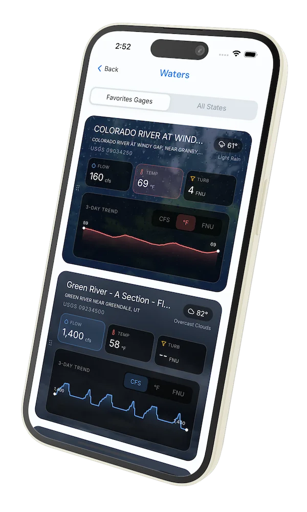
Get IdentaFly on your phone
Hatch forecasts, river gages, fly scanning, and your journal — built for on-stream use. Be prepared before you get to the water. Free on the App Store and Google Play.


Conditions Report
Read tips and insights about recent conditions for Deschutes River — gathered from on line sources.
Read the Conditions ReportWater conditions (USGS)
Water conditions for the last 7 days. You can gain insights to fishing activity based on these conditions, like water temperature and flow.
Data sourced from USGS National Water Information System
Access
Seasons
Terrain
Water
Fish Species
Steelhead
Brown Trout
Rainbow Trout
Fishing Styles
Methods
•
Wade Friendly
•
Float Friendly
Land Ownership
Public Forest Service