Nantahala River
NC
•
River
About Nantahala River
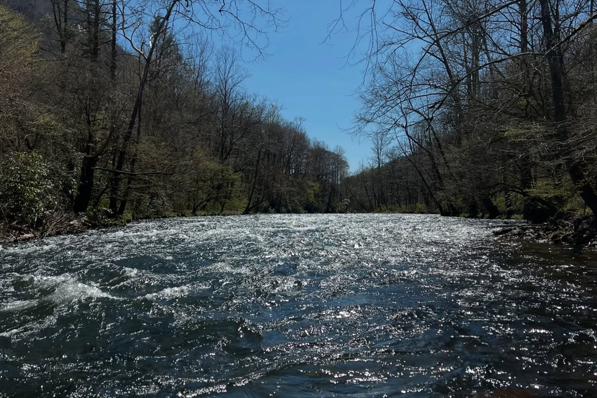
The Nantahala River offers two distinct types of water depending on where you pull off the road. The Upper Nantahala is a medium-sized freestone stream characterized by its steep gradient, cascades, and plunging waterfalls. You can access these upper stretches by driving along Wayah Road and Old River Road, where the water tumbles over boulder fields and creates distinct plunge pools. Below the powerhouse, the character changes completely as the river enters the deep Nantahala Gorge. This lower section is a high-volume, dam-controlled river where the water remains cold but can rise with extreme speed depending on power generation. The sheer canyon walls shade the water, keeping temperatures down and creating deep, dark runs even during the brightest parts of the day. Getting on the water is straightforward if you know where the boundary lines and access points lie. Parking at the Nantahala Boat Launch marks the upper boundary of the Delayed Harvest section, making it a logical starting point for foot travelers. From there, Duke Energy maintains five designated fish and kayak access points distributed along the river corridor for easy entry and exit. For anglers looking for stable footing or improved access, the Wishon's Fishing Hole pier provides a dedicated, handicapped-accessible platform to fish the river. These specific access points allow you to break the river down into manageable beats without wandering aimlessly along the steep banks. This watershed holds a diverse mix of trout, including wild rainbow, brown, and brook trout, with some headwaters containing native Southern Appalachian brook trout. The Lower Nantahala is known for exceptionally high trout densities, where cold water from the dam keeps the fish active and feeding throughout the day. In the deeper pools and undercut banks of the gorge, massive wild brown trout find refuge in the heavy current. The Delayed Harvest section requires the strict use of single-hook artificial lures, meaning you need to leave the bait and treble hooks in the truck. You will want to target the slack water behind large mid-river boulders and the deep seam lines where the fast water meets the slow eddies. Weighted nymphs fished deep under an indicator or drifted tight-line through the faster runs are highly effective at reaching these bottom-dwelling fish. Wading the Lower Nantahala demands constant awareness of your surroundings and a firm footing. Because this is a dam-controlled system, wade anglers must monitor the Duke Energy water release schedule closely to avoid being trapped by rapid water level rises during power generation. When the water is running high and fast, fish the edges and pockets close to the bank where trout seek relief from the main current. For those looking for a different approach, night fishing is permitted on the Lower Nantahala downstream of the power plant. If you fish after dark, slow down your presentation, use heavy tippet, and work large streamers or wet flies through the deeper tailouts where big predatory browns move out to hunt.
Nantahala River Hatch Chart
Loading active hatches…
Quick Actions
Regulations
•
Catch & Release: All fish must be immediately released. Handle with care using barbless hooks.
•
Artificial Lures Only: No natural bait permitted. Flies, lures, and artificial attractants only.
•
Seasonal Closures: This water has seasonal closures. Check local regulations for specific dates.
Trip Planning
Best fishing typically occurs during spring and summer. Check water conditions before heading out.
See what insects are emerging on Nantahala River's hatch forecast — including active hatches, water temperatures, and which patterns to have in your box this month.
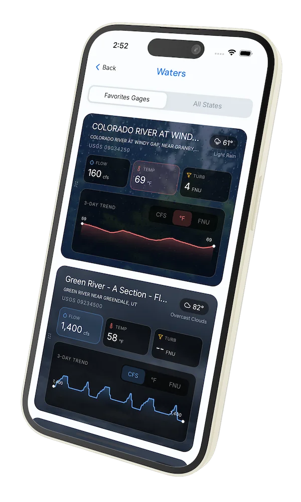
Get IdentaFly on your phone
Hatch forecasts, river gages, fly scanning, and your journal — built for on-stream use. Be prepared before you get to the water. Free on the App Store and Google Play.


Water conditions (USGS)
Water conditions for the last 7 days. You can gain insights to fishing activity based on these conditions, like water temperature and flow.
Data sourced from USGS National Water Information System
Access
Seasons
Terrain
Water
Fish Species
Rainbow Trout
Brown Trout
Brook Trout
Regulations
•
Catch & Release: All fish must be immediately released. Handle with care using barbless hooks.
•
Artificial Lures Only: No natural bait permitted. Flies, lures, and artificial attractants only.
•
Seasonal Closures: This water has seasonal closures. Check local regulations for specific dates.
Fishing Styles
Methods
•
Wade Friendly
•
Raftable
Land Ownership
Public Forest Service