Missouri River - Lower
MT
•
River
About Missouri River - Lower
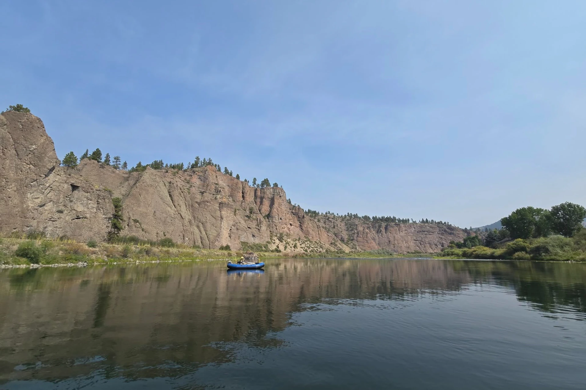
The Lower Missouri River, a vast warm-water fishery stretching from Fort Benton towards the North Dakota border, offers unparalleled solitude and unique scenery. Between Fort Benton and Fort Peck Lake, this Wild or Scenic River flows through dramatic canyons and arid buttes, providing exceptional opportunities for long float trips with minimal human impact. While the majority of this section is turbid and best suited for warm-water species like northern pike, walleye, catfish, and smallmouth bass, a short two-mile stretch below Fort Peck Dam is renowned for its large rainbow trout. This dam-controlled section also produces impressive northern pike and walleye, attracting anglers with streamers and sinking lines, while spin fishermen find success with spoons and live bait.
Missouri River - Lower Hatch Chart
Loading active hatches…
Quick Actions
Trip Planning
Best fishing typically occurs during spring and summer. Check water conditions before heading out.
See what insects are emerging on Missouri River - Lower's hatch forecast — including active hatches, water temperatures, and which patterns to have in your box this month.
Get IdentaFly on your phone
Hatch forecasts, river gages, fly scanning, and your journal — built for on-stream use. Be prepared before you get to the water. Free on the App Store and Google Play.


Conditions Report
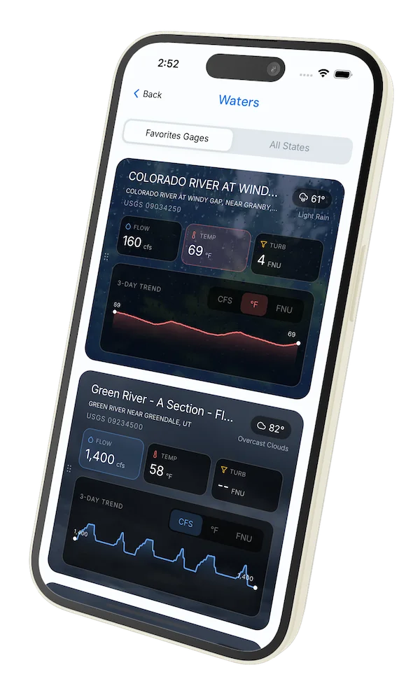
Read tips and insights about recent conditions for Missouri River - Lower — gathered from on line sources.
Read the Conditions ReportWater conditions
Water conditions for the last 7 days. You can gain insights to fishing activity based on these conditions, like water temperature and flow.
Data sourced from USGS National Water Information System
Access
Seasons
Terrain
Water
Fish Species
Rainbow Trout
Pike
Walleye
Catfish
Smallmouth Bass
Fishing Styles
Methods
•
Float Friendly
•
Wade Friendly
Land Ownership
Public Blm
State Wildlife Area