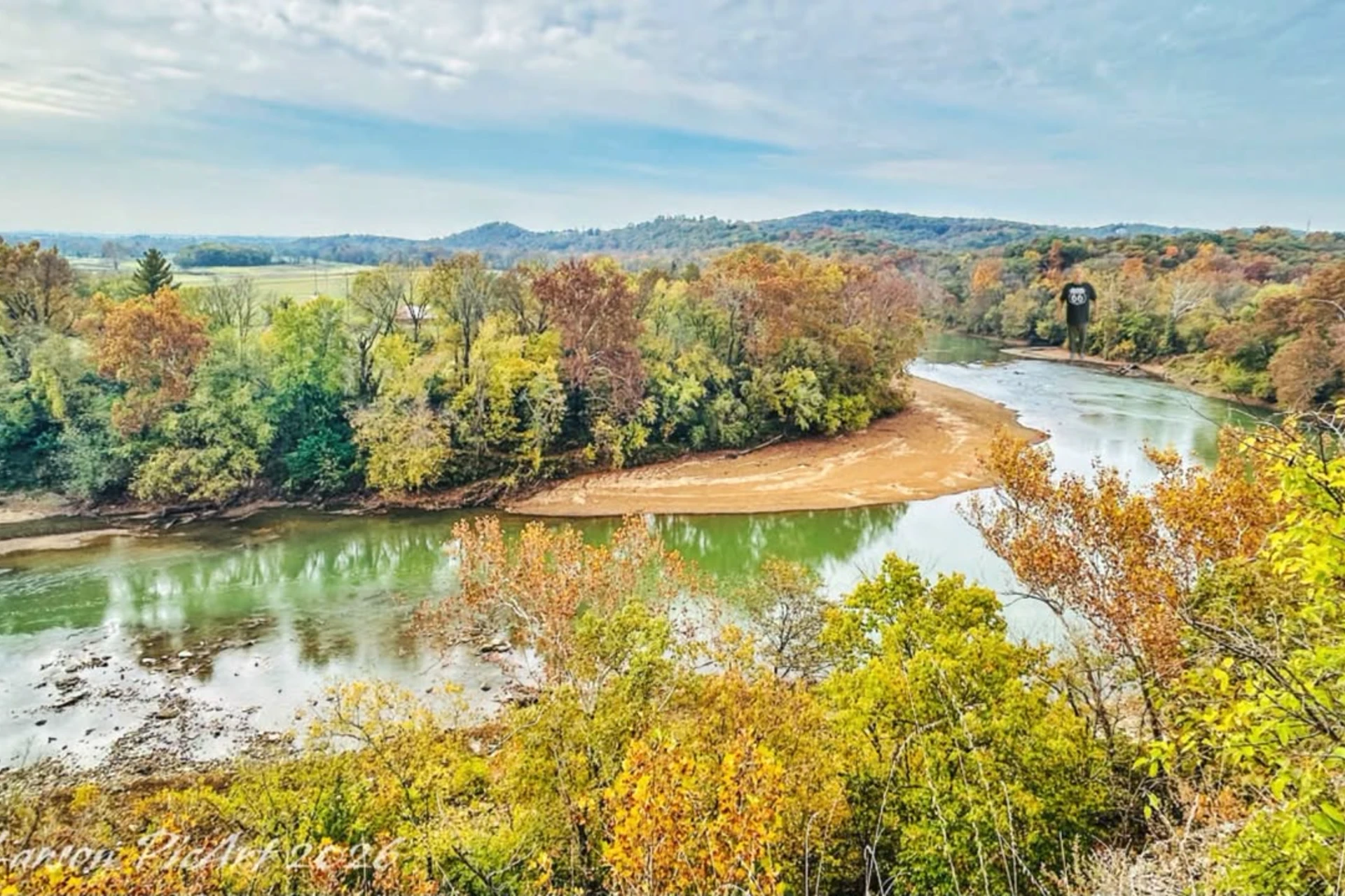
Meramec River
MO
•
River
About Meramec River
The Meramec River moves through a shifting channel defined by gravel riffle margins, deep bluff pools lined with heavy boulders, and quiet backwaters choked with water willow and submerged vegetation. You will find the most defined current lines in the runs at the very beginning and ends of the main pools where the river pinches and accelerates. Woody debris is a major structural feature across this river system, with downed trees creating complex root wad targets throughout the mid-sections. Around the confluence of Dry Fork, this wood structural element becomes highly concentrated in an area local anglers refer to as "the piles." Approaching these wood jams requires careful positioning to avoid getting swept into the structure by the main current. Getting onto the river requires planning your drift or wade around several key access points scattered along its course. The swifter upper reaches are reached near the Highway 8 bridge, Scotts Ford, and the Bird's Nest Access. Moving downstream, public entry points open up at Onondaga Cave State Park, Meramec State Park near Sullivan, Redhorse Access, River Round Conservation Area, and Choteau Claim Access as the river begins to widen. For those looking to fish the lower sections, Robertsville State Park, Pacific Palisades, Allenton Access, and Route 66 State Park provide reliable banks and launch sites. Each access point reveals a different look at the river, transitioning from narrower gravel-bottomed stretches to wider, slower-moving lowland water that requires wading cautiously over slippery clay banks and loose gravel bars. Below Maramec Spring Park, the river holds a solid number of rainbow trout that stay active in the cooler flows, alongside less common brown trout that occupy the same cold stretches. As the river transitions into warmer zones, smallmouth bass become the primary target, especially within the Smallmouth Bass Special Management Area that stretches from the Highway 8 bridge near the Phelps/Crawford county line down to the railroad bridge crossing at Bird's Nest Access. You will find high numbers of smallmouth in the 8 to 12-inch range, with larger specimens exceeding 15 inches. Target these smallmouth in the faster runs, riffle margins, and pool margins where the fast water meets deep pools. Drift crayfish-imitating soft plastics, jigs, or weighted flies naturally into the darker depths of these transition zones to trigger strikes. Largemouth and spotted bass occupy the slower pool and slack-water habitats, while goggle-eye, channel catfish, and flathead catfish round out the rest of the fishery. Target the goggle-eye by dropping small soft plastics, worms, or crayfish-colored crankbaits along the edges of water willow, tight against bluff pool boulders, or directly around submerged trees in flowing water. For the largemouth and spotted bass, running grubs, plastic worms, and crayfish-pattern crankbaits through the deeper runs or casting buzz baits over shallow wood cover produces consistent action. Channel and flathead catfish hold deep in the runs near heavy rootwads and large boulders. When working the heavy timber and "the piles" near Dry Fork, keep your casts tight to the root wads and be ready to steer fish out of the wood immediately after the strike.
Meramec River Hatch Chart
Loading active hatches…
Quick Actions
Regulations
•
Artificial Lures Only: No natural bait permitted. Flies, lures, and artificial attractants only.
Trip Planning
Best fishing typically occurs during year round. Check water conditions before heading out.
See what insects are emerging on Meramec River's hatch forecast — including active hatches, water temperatures, and which patterns to have in your box this month.
Get IdentaFly on your phone
Hatch forecasts, river gages, fly scanning, and your journal — built for on-stream use. Be prepared before you get to the water. Free on the App Store and Google Play.


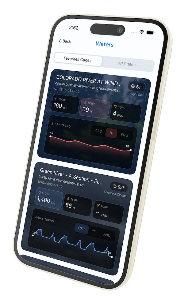
Water conditions
Water conditions for the last 7 days. You can gain insights to fishing activity based on these conditions, like water temperature and flow.
Data sourced from USGS National Water Information System and NOAA National Water Prediction Service (NWPS)
Access
Seasons
Terrain
Water
Fish Species
Smallmouth Bass
Largemouth Bass
Rainbow Trout
Brown Trout
Regulations
•
Artificial Lures Only: No natural bait permitted. Flies, lures, and artificial attractants only.
Fishing Styles
Methods
•
Wade Friendly
•
Float Friendly
Land Ownership
State Wildlife Area