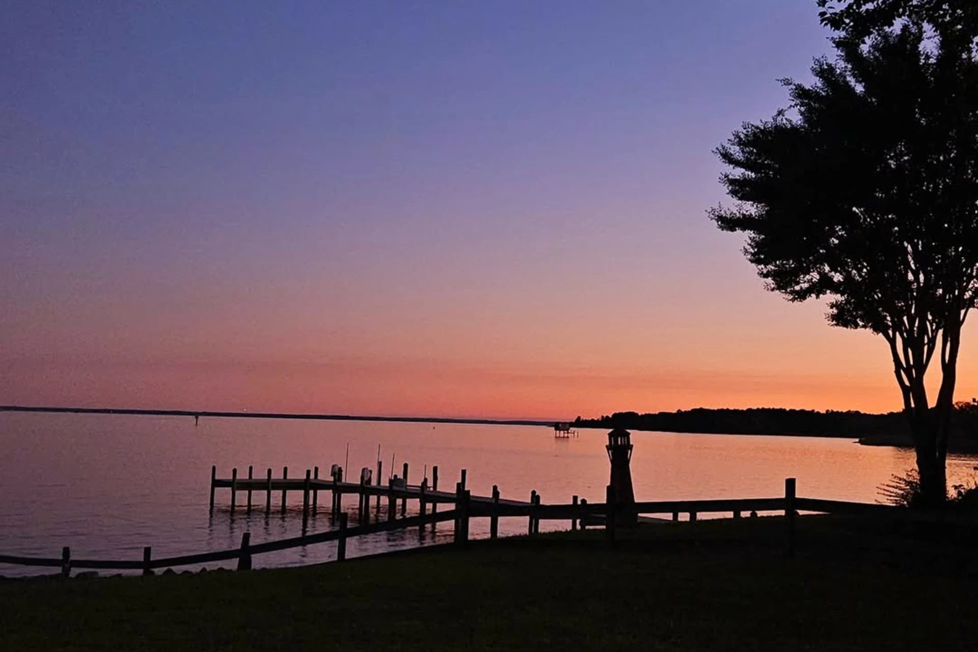
Potomac River
MD
•
River
•
Main stemAbout Potomac River
The Potomac River flows over 200 miles from Cumberland down to Washington D.C., forming the southern boundary of Maryland. The river system begins its run as a coldwater system in the high country, with the North Branch flowing through rugged sandstone cliffs and dense deciduous forests upstream of Cumberland. At Greenspring, West Virginia, the North and South Branches converge to form the main stem, which transitions into a sprawling, warmwater river flowing southeast from the Hagerstown Valley. The western sections of this main stem feature a fair to moderate gradient, characterized by limestone-influenced geology and a bottom structure of pea gravel, large boulders, cobble, and bedrock ledges. This bedrock and cobble substrate creates a highly visual riverbed where you can easily spot deep runs, shelf lines, and tailouts from the bank. As the river continues downstream, its physical character changes through Washington, Frederick, and Montgomery Counties. In the Washington County section, two small hydroelectric dams, known as Dam 4 and Dam 5, interrupt the natural flow, creating slow, deep pool environments upstream of the structures and highly oxygenated, fast water immediately below them. Downstream through Frederick and Montgomery Counties, the Potomac takes on a lower gradient, marked by shallow pool and glide profiles and extensive beds of submerged aquatic vegetation. Accessing this massive river is straightforward because the Chesapeake and Ohio (C&O) Canal National Historic Park parallels the waterway, offering numerous bank access points and trail crossings. Anglers can also locate specific entry points using the Maryland Public Angler Access Map to plan their wading routes around the deeper channels and shallow gravel bars. The warmwater mainstem supports smallmouth bass, largemouth bass, muskellunge, catfish, carp, and panfish, while the coldwater North Branch is managed for trout. Resident fish in the warmwater stretches feed heavily on river forage like hellgrammites, crayfish, and baitfish in the faster runs and along the shoreline structure. To target these fish on the bottom, bounce heavy, realistic patterns directly through the rocky crevices and bedrock slots. Tie on a tan May's Full Motion Crayfish, a brown Schultzy's Low Water Crayfish, or a black Crittermite to mimic the local crayfish populations scurrying through the cobble. Josh's Wiggle Hellgrammite is another critical pattern for drifting through the deep structural cracks where smallmouth bass wait to intercept drifting larvae. When fish look up or hold in the swifter currents, streamers and surface poppers become your primary tools. Swing a rust-and-gold Kreelex, a rust Clawdad, an olive-and-white Schultzy's S3 Sculpin, or a chartreuse CK Baitfish through fast seams and tailouts, using active rod-tip twitches to mimic fleeing baitfish. Around the extensive weed beds in the lower counties and near woody debris along the banks, cast olive or black Sneaky Pete Poppers and work them with a slow, chugging retrieve punctuated by long pauses. Because the river is exceptionally wide, success depends on reading the shoreline topography and targeting transition zones where fast water meets slow water around large boulder fields. The bedrock ledges can be incredibly slick, so wear studded wading boots to maintain traction when navigating the heavy currents of the main channel.
Potomac River Hatch Chart
Loading active hatches…
Quick Actions
Trip Planning
Best fishing typically occurs during year round. Check water conditions before heading out.
See what insects are emerging on Potomac River's hatch forecast — including active hatches, water temperatures, and which patterns to have in your box this month.
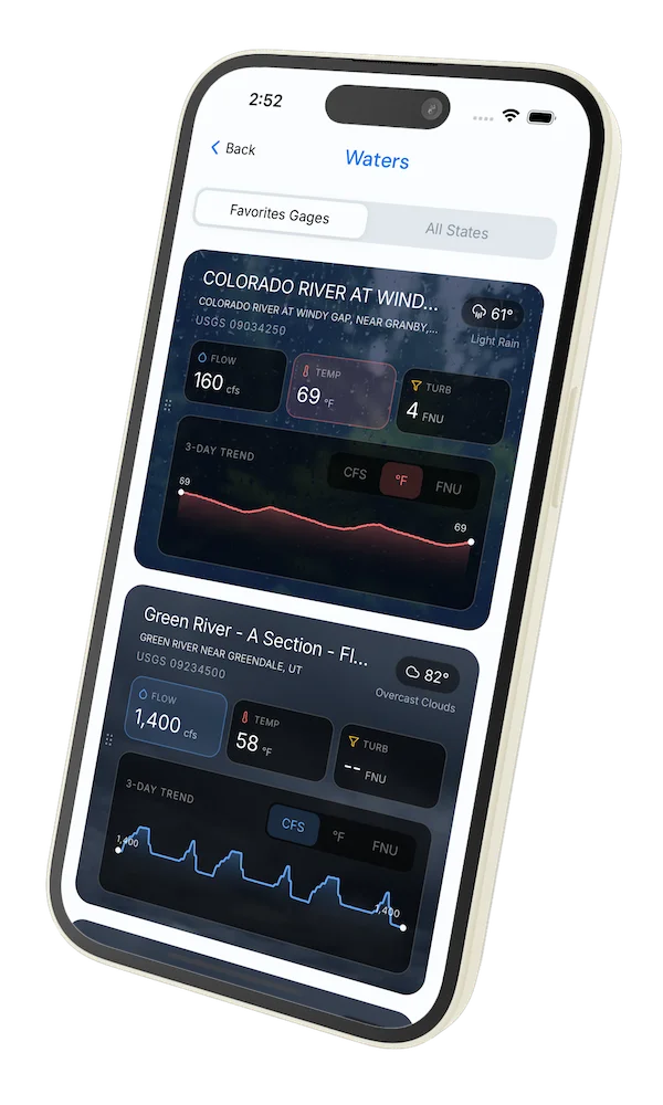
Get IdentaFly on your phone
Hatch forecasts, river gages, fly scanning, and your journal — built for on-stream use. Be prepared before you get to the water. Free on the App Store and Google Play.


Related Waters
Conditions Report
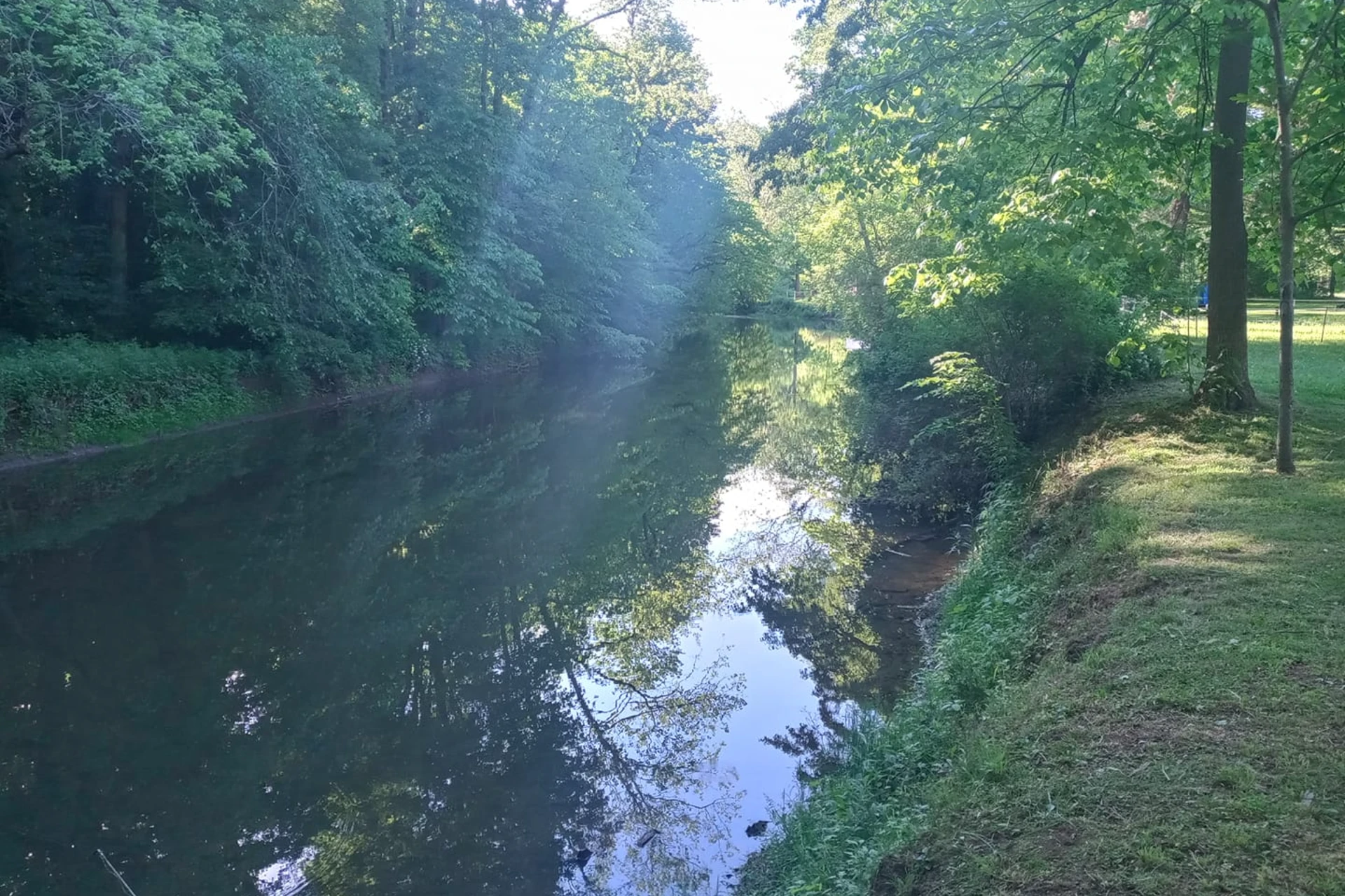
Read tips and insights about recent conditions for Potomac River — gathered from on line sources.
Read the Conditions ReportWater conditions
Water conditions for the last 7 days. You can gain insights to fishing activity based on these conditions, like water temperature and flow.
Data sourced from USGS National Water Information System and NOAA National Water Prediction Service (NWPS)
Access
Seasons
Terrain
Water
Fish Species
Smallmouth Bass
Largemouth Bass
Muskie
Trout
Fishing Styles
Methods
•
Wade Friendly
•
Float Friendly
Land Ownership
National Park