Hat Creek
CA
•
Spring Creek
About Hat Creek
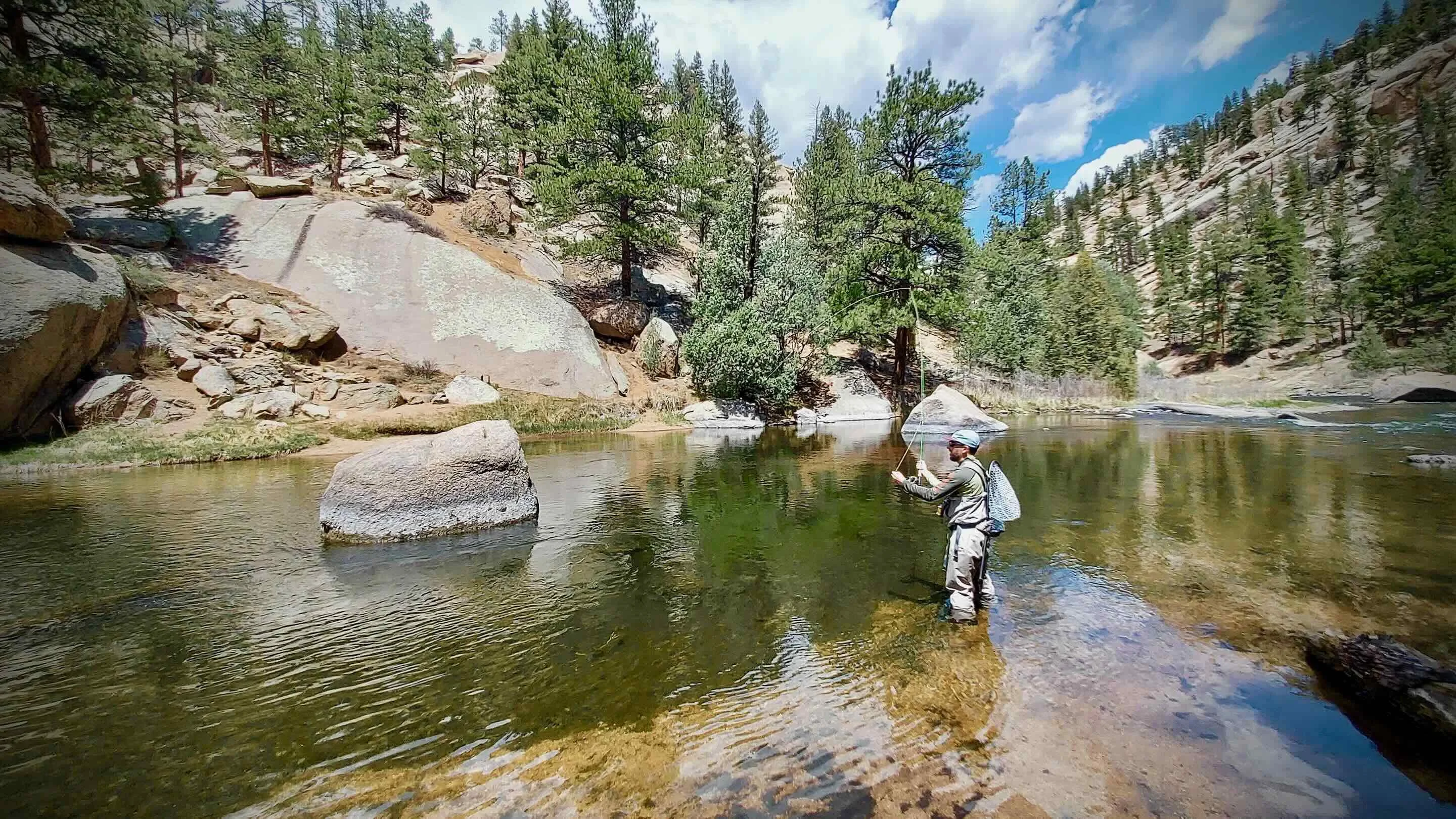
Hat Creek is a thirty-mile spring creek system in northern California that flows north from Mt Lassen to Lake Britton and the Pit River. The upper reach of this system is characterized as a small, clear freestone spring creek flowing through open ranch land. Getting oriented is straightforward as Highway 89 runs along the water, offering direct access to the creek. Anglers can set up camp at several public Forest Service operated campgrounds located along this highway corridor to keep close to the water. Below Powerhouse #2, the lower three and a half miles of the creek change character entirely into smooth, glass-like flats and shallow wadeable riffles. This lower section features heavy physical structure such as fallen logs and tall grass lining the banks. Accessing this specific stretch is made easier by a footbridge and a designated one-and-a-half-mile access trail that runs through the Powerhouse #2 section. The water here runs incredibly clear, demanding a careful approach to avoid sending ripples across the flat, mirror-like surface. The target species here are large, highly discriminating wild rainbow trout along with the occasional brown trout. These fish feed on a steady supply of aquatic insects, including salmonflies, Green Drakes, and little yellow stoneflies. You will also see hatches of Pale Morning Duns, caddisflies, and black wing olives coming off the water. Because the trout see constant pressure and have plenty of natural food, they require precise matching of the profile of these specific insects. Success relies on observing the water closely to identify which of these bugs the fish are focusing on. On the smooth flats of the lower section, you will need to rely on technical dry fly presentations and sight casting to individual rising fish. In the shallow riffles, switch your setup to short-line nymphing and dead-drifting nymphs under indicators to reach fish holding in the moving water. For the steeper gradient lower reaches, change your approach to swinging streamers or casting large dry flies directly behind structure like logs. Keep your wading slow and quiet in the shallows to avoid alerting the wild trout to your presence along the banks.
Hat Creek Hatch Chart
Quick Actions
Trip Planning
Best fishing typically occurs during year round. Check water conditions before heading out.
See what insects are emerging on Hat Creek's hatch forecast — including active hatches, water temperatures, and which patterns to have in your box this month.
Get IdentaFly on your phone
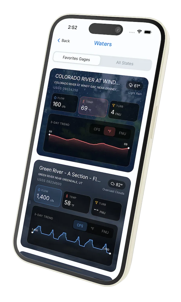
Hatch forecasts, river gages, fly scanning, and your journal — built for on-stream use. Be prepared before you get to the water. Free on the App Store and Google Play.


Conditions Report
Read tips and insights about recent conditions for Hat Creek — gathered from on line sources.
Read the Conditions ReportAccess
Seasons
Terrain
Water
Fish Species
Rainbow Trout
Brown Trout
Fishing Styles
Methods
•
Wade Friendly
Land Ownership
National Park
Public Forest Service