American Fork
UT
•
River
About American Fork
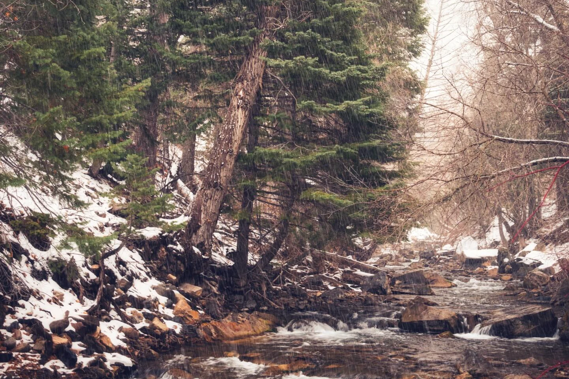
The American Fork River begins high in the Wasatch Mountains, drawing its flow from Mineral Basin before carving its path through American Fork Canyon. This mountain river is fed by Silver Creek, Deer Creek, and Cattle Creek as it descends, eventually running through northern Utah County and emptying into Utah Lake on its north shore. Anglers will find no access problems along the American Fork, with Forest Service campgrounds situated nearby, offering convenient base camps for extended fishing. The river's character shifts from its canyon sections to its lower reaches, and while the water generally fishes well, be aware that groundwater contributions from the abandoned Pacific Mine can introduce metals, and spill events have at times made sections dangerous to humans. In the upper and middle sections of the American Fork, you’ll primarily target rainbow trout, commonly in the 6-12 inch range, with brown trout also present though in fewer numbers. The river supports a rich community of mayflies, stoneflies, and caddisflies, which means matching the prevalent insect activity is key to success. During summer and fall, when runoff and snowfall do not limit access, these trout are actively feeding, making for productive fly fishing. Focus on presenting your flies in seams and eddies where current breaks provide feeding lanes. The lower reaches of the American Fork offer a different angling opportunity, especially during the walleye spawn. Walleye run up the river from Utah Lake to reproduce, and some will remain in these lower sections after the spawn. However, be mindful of specific closures: the river west of I-15 is closed to fishing during the walleye spawn to protect these fish. When targeting trout in the American Fork, a standard weight-forward floating line will cover most situations, allowing for dry-fly presentations during hatches or nymphing under an indicator in deeper runs. Always check local conditions and any advisories before heading out, especially regarding water quality.
American Fork Hatch Chart
Loading active hatches…
Quick Actions
Regulations
•
Seasonal Closures: This water has seasonal closures. Check local regulations for specific dates.
Trip Planning
Best fishing typically occurs during summer and fall. Check water conditions before heading out.
See what insects are emerging on American Fork's hatch forecast — including active hatches, water temperatures, and which patterns to have in your box this month.
Get IdentaFly on your phone
Hatch forecasts, river gages, fly scanning, and your journal — built for on-stream use. Be prepared before you get to the water. Free on the App Store and Google Play.


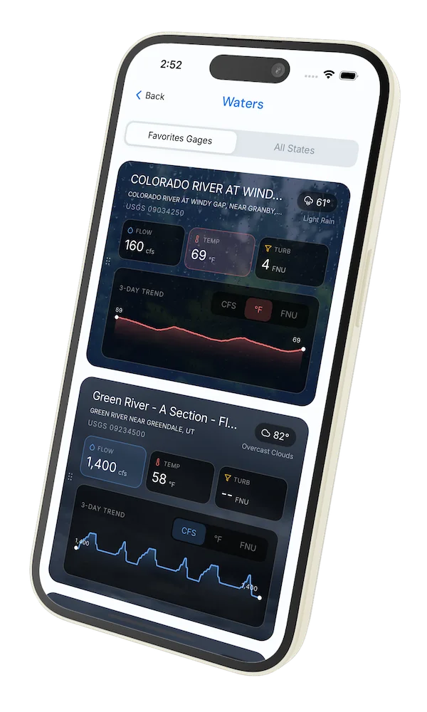
Water conditions (USGS)
Water conditions for the last 7 days. You can gain insights to fishing activity based on these conditions, like water temperature and flow.
Data sourced from USGS National Water Information System
Access
Seasons
Terrain
Water
Fish Species
Rainbow Trout
Brown Trout
Walleye
Regulations
•
Seasonal Closures: This water has seasonal closures. Check local regulations for specific dates.
Fishing Styles
Methods
•
Wade Friendly
Land Ownership
Public Forest Service